Exploring Utah's Canyons part 4: San Rafael Reef


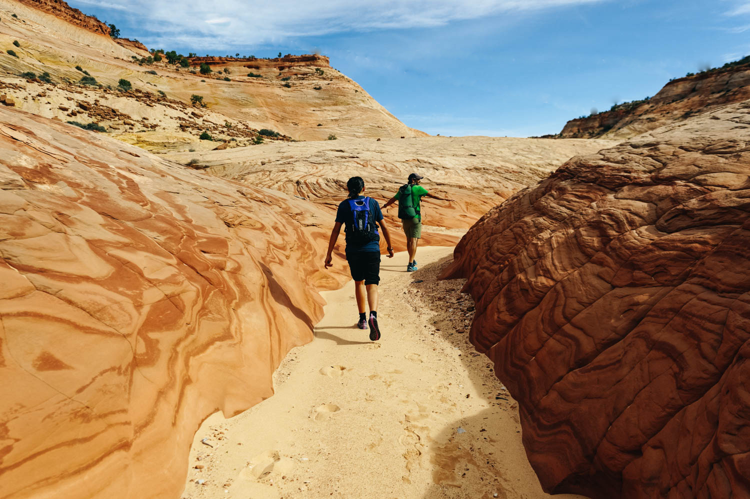
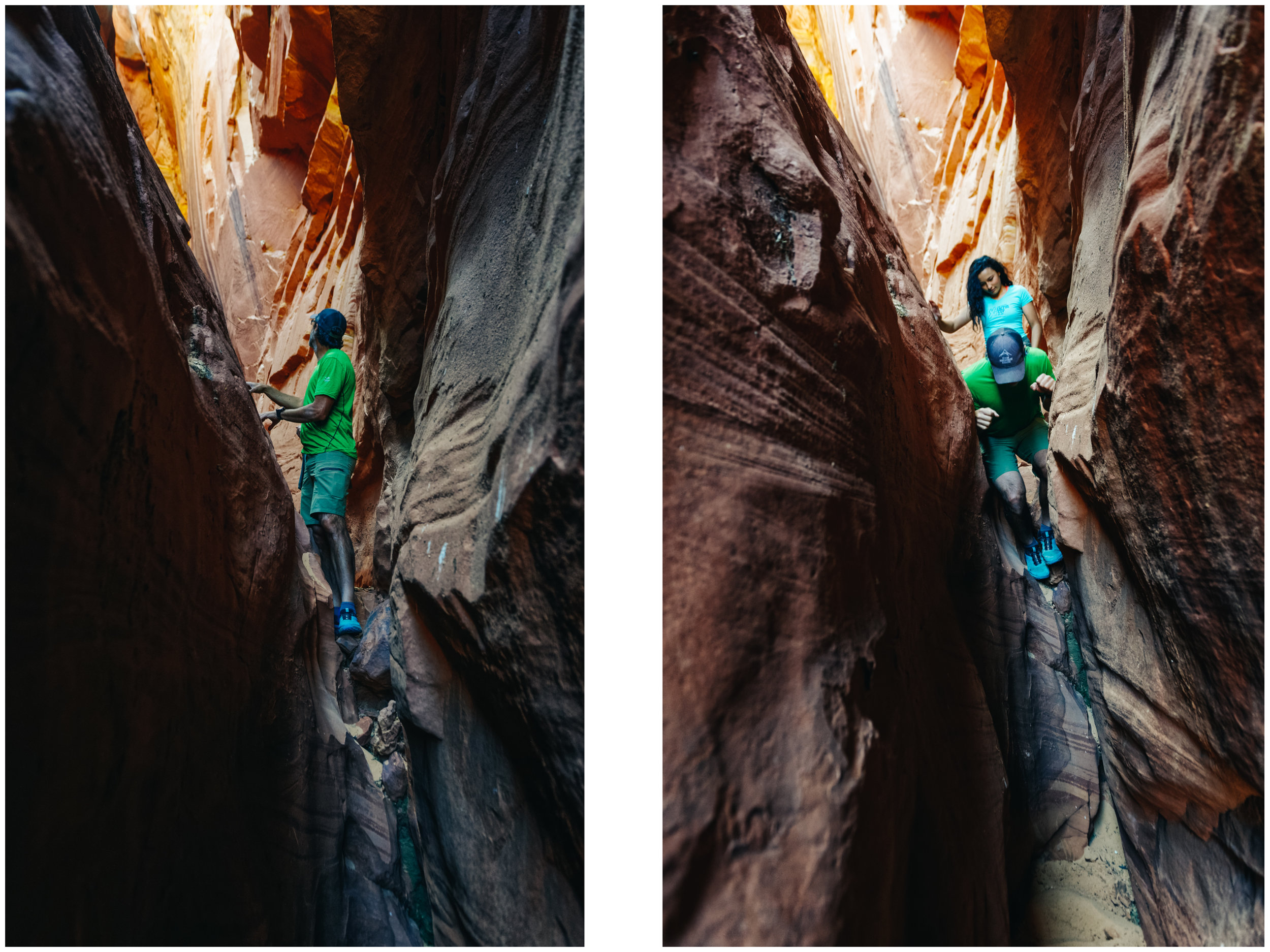
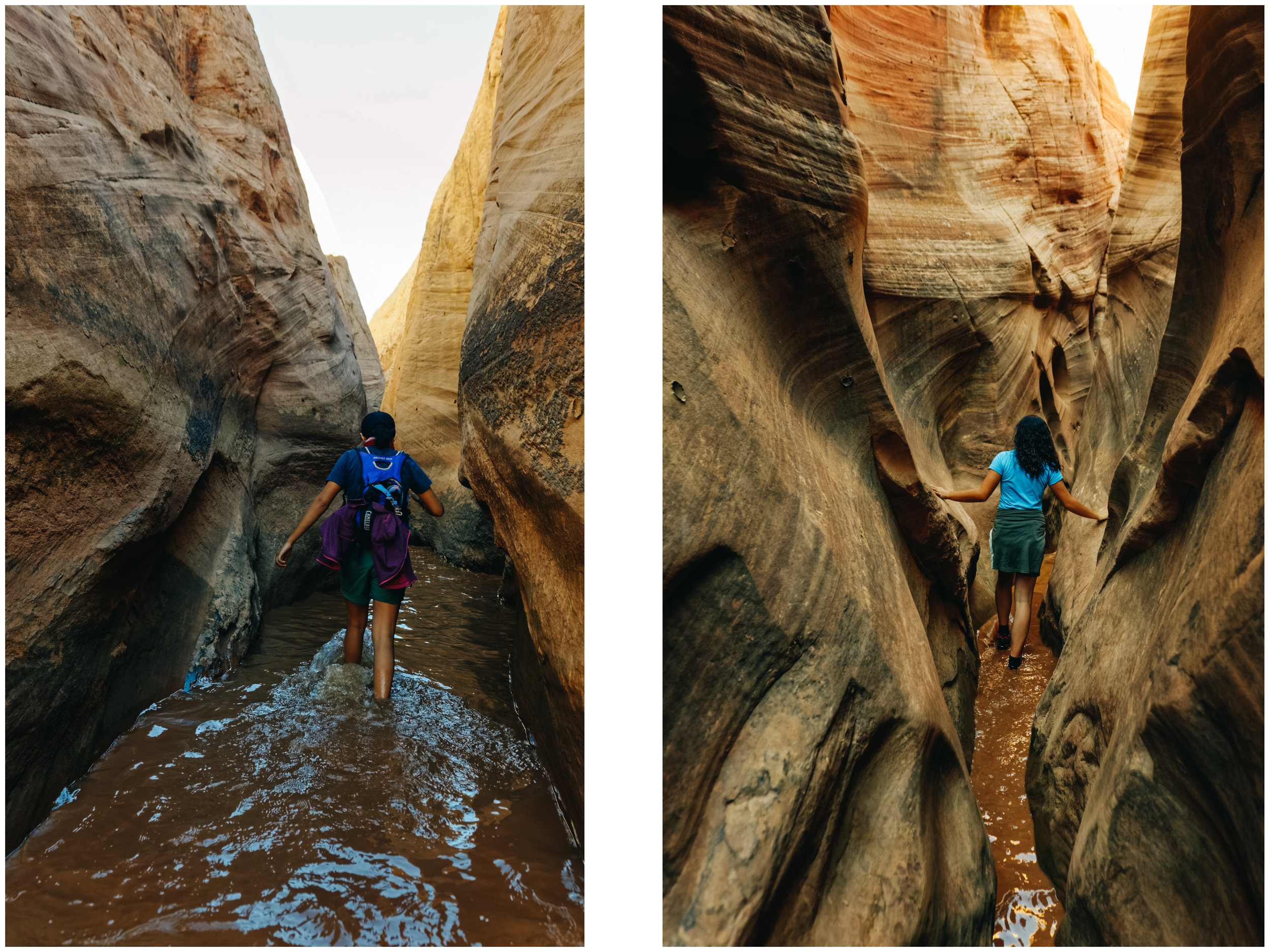
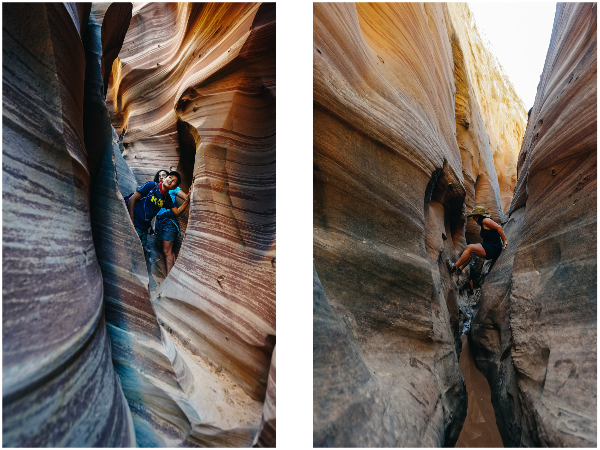
Little Wild Horse Canyon is so sinuous, you feel like water walking through it.

Mathilde is always ready to rest. Ahem.


So, so gorgeous!

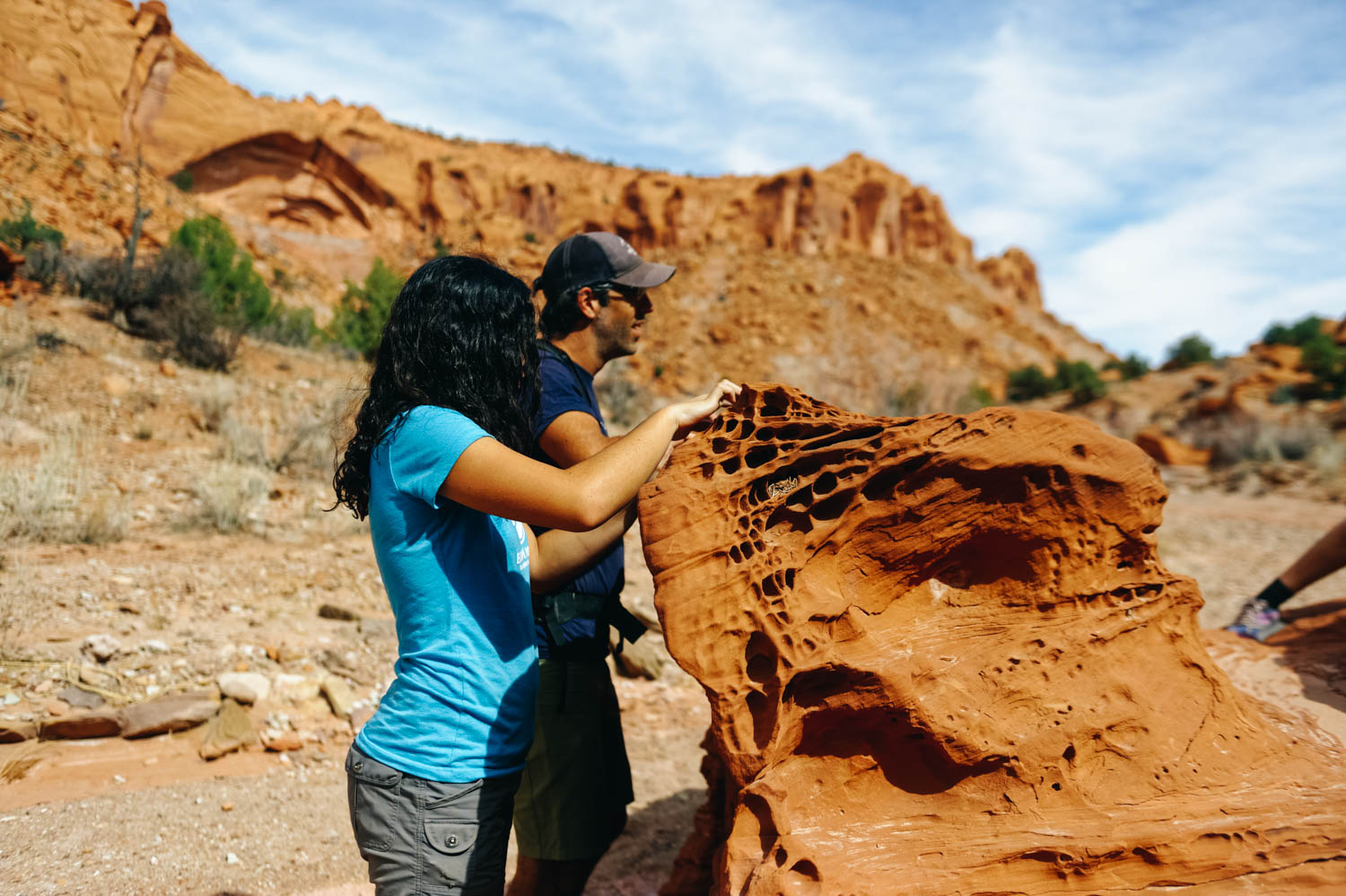
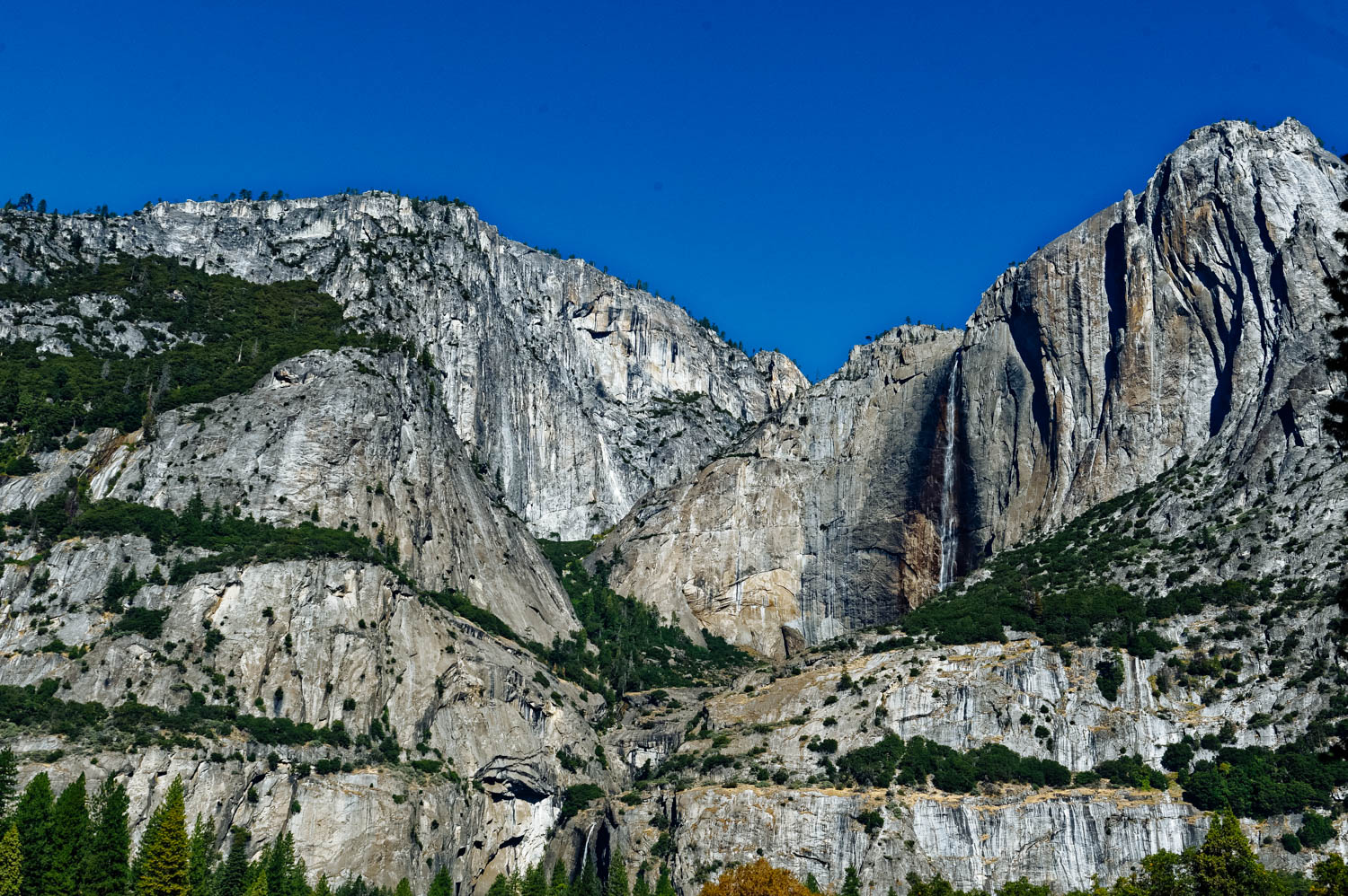
Canyons have been described as sensuous and feminine, womb-like in opposition to mountains and spires or hoodoos. You see, something unique happen when you stand in the belly of the earth. You want to run your fingers along the round walls, like a pregnant belly or a breast. You want to linger, to drift… you don't want to get out of that embrace, to reemerge and reenter the world beyond that womb.

In their book Utah Canyon Country, Kathy and Craig Copeland warn the hikers pretty clearly about Bell & Little Wild Horse canyons: The circuit linking the two canyons is a merry-go-round of enthusiastic hikers: kids sprinting away from their ambling parents, young couples lugging babies in backpacks, seniors cautiously shrouded head-to-toe in sun-barrier clothing, experienced trekkers sheepish about participating in such a carnival yet enjoying it too. (…) Hiking here is like joining a hikers’ pride parade. It’s an act of solidarity with your comrades: the people raising hikers-to-be. Not convinced? Then come here simply to marvel at the bizarre beauty of the San Rafael Reef. These canyons are so extraordinary they’ll command your attention while the party swirls on without you.
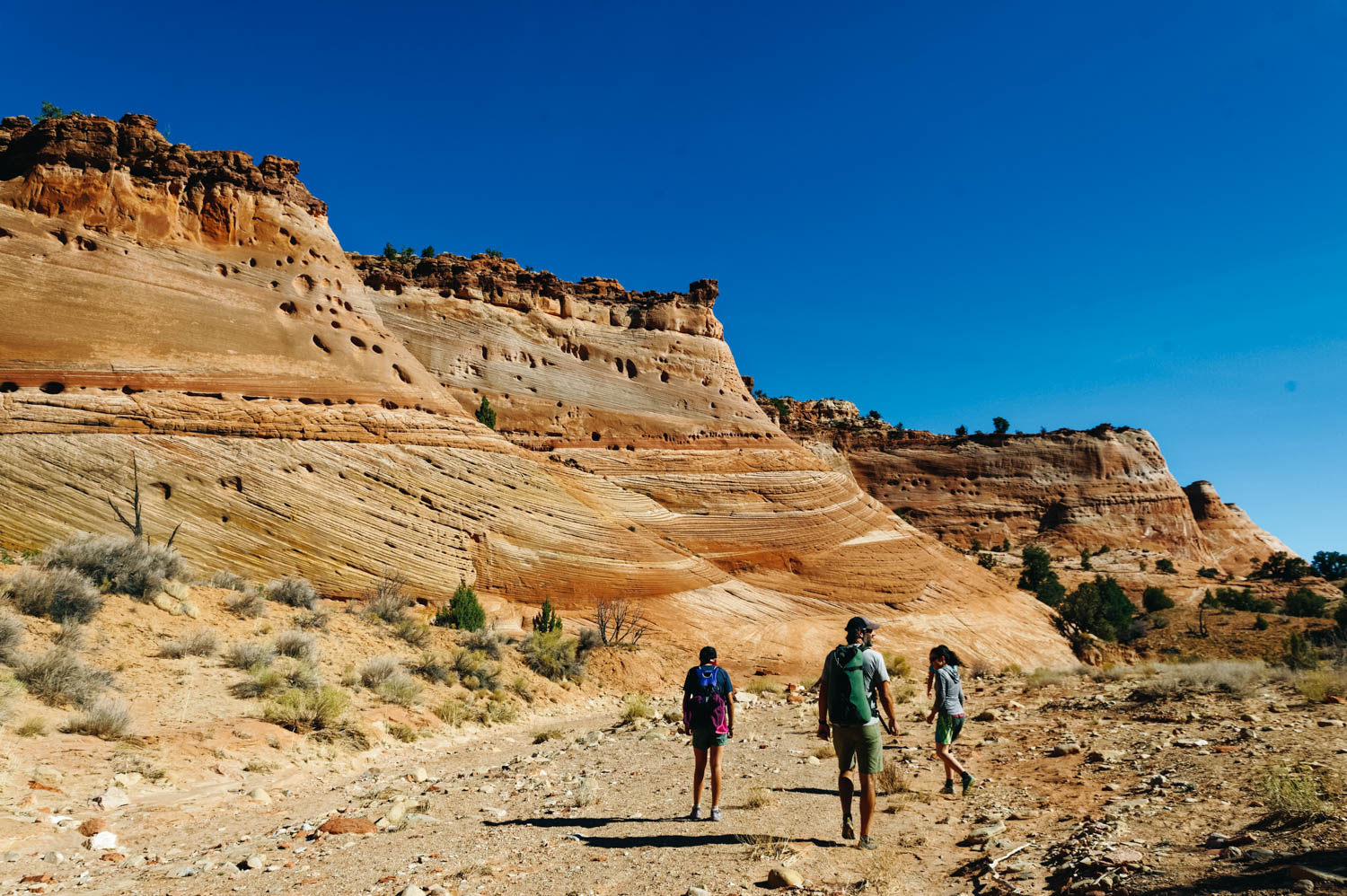
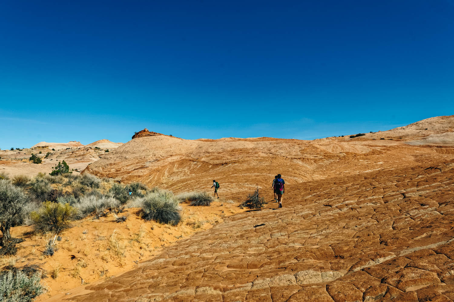
Little Wild Horse Canyon (2-4 miles round trip to simply explore the first section of LWH Canyon or 9 miles to do the loop hike with Bell Canyon, easy, dog-friendly but lots of people, VERY HEAVY traffic):
There were over 60 vehicles in the parking lot when we arrived at 3 pm on a Monday afternoon (granted, it was during Spring Break, but still!). We decided to go find a camping spot on Little Wild Horse BLM just a few minutes from there and waited for the crowd to leave. We started our hike in the canyon at 6 pm and had the place pretty much to ourselves. It was AMAZING. We hike pretty fast, but we were able to see a lot of Little Wild Horse Canyon and return by 8 pm. It is undeniably the most beautiful slot canyon we have seen when taking in consideration the minimal approach and how easy it is to hike it (no technical challenge at all).
Most people simply walk a few miles into Little Wild Horse Canyon and turn around (like we did), but you can also do it in a loop starting with Bell Canyon and returning through Little Wild Horse Canyon. I believe it would be doable the other way around too (but you might want to double check that in case there are obstacles) in order to avoid the crowd if you start very early from LWH canyon.

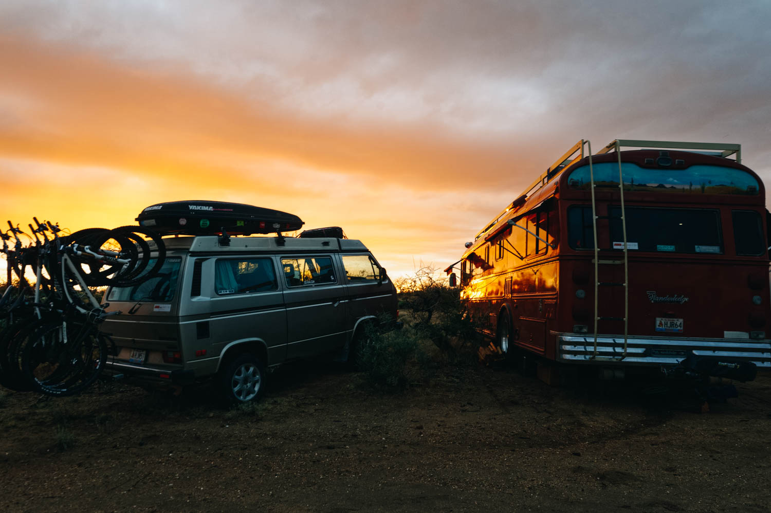
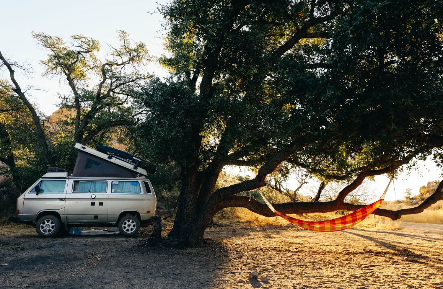
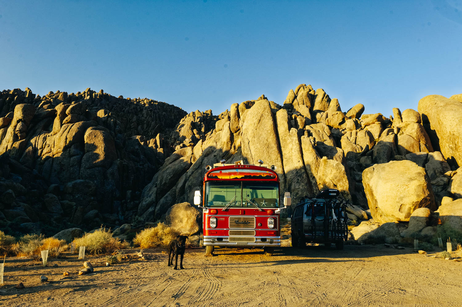
Our beautiful (and very windy) campsite on Little Wild Horse BLM.
To also check in the same area:
Crack Canyon (7 miles round trip, easy with a few obstacles requiring some gymnastic efforts, dogs allowed, but has to be pretty athletic, moderate to low traffic)
Chute Canyon (4.5 miles round trip, easy, dogs allowed, moderate to low traffic)
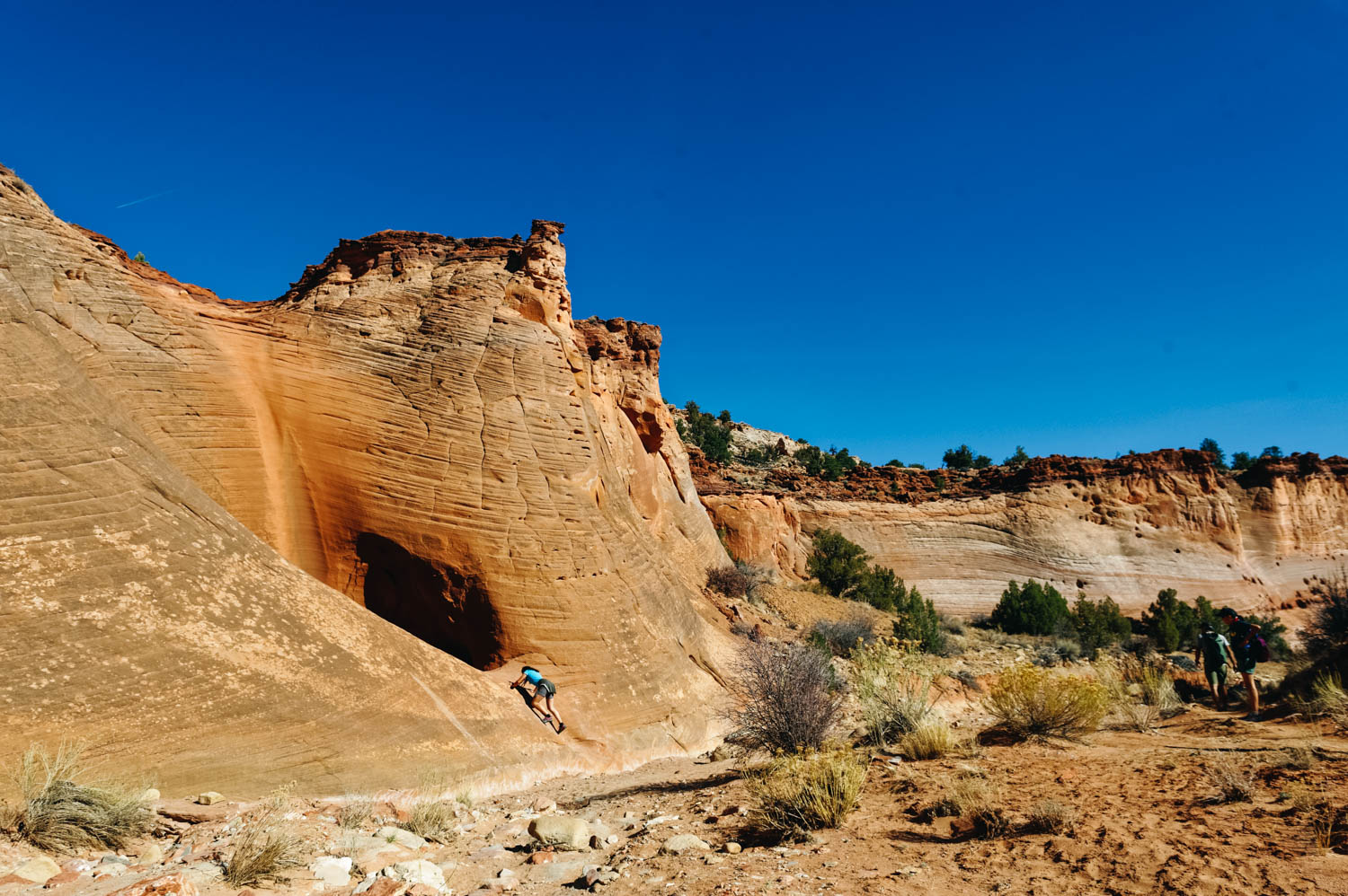
I'm not going to keep you from paying $15 to go into Goblin Valley State park and spend an hour (or less) climbing on goblin-like rock formations (why on earth do they allow people to climb on such fragile formations, I don't know...), but if you do and you have bikes, go explore a much less crowded area of the park with really nice easy bike trails and ride The Dark Side of the Moon to get very close to the San Rafael Swell.
Recommended books:
Map (note that there is no cell signal in most of these places, so you'll likely need a paper map) : Canyons of the Escalante