Heading North, 2019 edition

 
_CFO7456_DxO.jpg
Spring Lake Regional Park, in Santa Rosa, CA.

Spring Lake Regional Park, in Santa Rosa, CA.

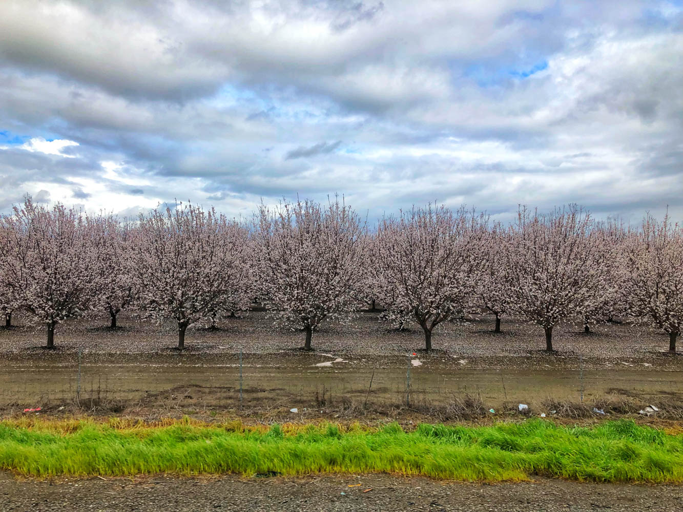
Just as we were marveling at the pastoral beauty of the miles and miles of almond trees in bloom in Yolo, an aircraft shot from around a corner spraying a torrent of pesticides over them. This is right by a residential area and a school... I know th…

Just as we were marveling at the pastoral beauty of the miles and miles of almond trees in bloom in Yolo, an aircraft shot from around a corner spraying a torrent of pesticides over them. This is right by a residential area and a school... I know there has been concerns and debates about this situation and that it has been the focus of recent media scrutiny because of the large amount of water required to grow almonds (12 liters per almond kernel!!), but to see it happen right in front of your eyes makes you realize firsthand the impact of our increased consumption of almonds (the almond orchard acreage has doubled in the last two decades!). We have definitely cut back on our almond consumption and focus more on hemp seeds

Lenticular clouds around Mount Shasta. Mount Shasta straddles the territories of the Shasta, Wintu, Achumawi, Atsugewi and Modoc tribes. Not surprisingly, the imposing mountain shows up in a lot of tribal myths and stories. Mount Shasta has been ide…

Lenticular clouds around Mount Shasta.
Mount Shasta straddles the territories of the Shasta, Wintu, Achumawi, Atsugewi and Modoc tribes. Not surprisingly, the imposing mountain shows up in a lot of tribal myths and stories. Mount Shasta has been identified by many experts as a spiritual and cosmic energy point, a landing area for UFOs, and even an entry point that leads into the fifth dimension, and as access to underground civilizations.

It is also known for its many mysterious disappearances throughout history. One of the most recent cases occurred in 2011 when a 6-year-old boy disappeared for about 5 hours while playing in the woods. According to witnesses, the boy suddenly vanished from sight in a second and reappeared 5 hours as if nothing had happened.

Regardless of what one believes about the mountain, it's easy to see why it has so many legends to its name. Shasta is a "non-denominational mountain," a blank slate for wonder — and even transcendence. This is nothing new. The Greeks had Olympus; Moses had Sinai. And spiritual seekers in the modern age have Mount Shasta.

Shasta Lake, CA.

Shasta Lake, CA.

Oregon Dunes

Oregon Dunes

_CFO7487_DxO.jpg
_CFO7490_DxO.jpg
We crossed back into Canada on the Ferry (Port Angeles, WA, to Victoria, BC)

We crossed back into Canada on the Ferry (Port Angeles, WA, to Victoria, BC)

We made it back to Canada! We had to drive pretty fast through Oregon and Washington State to meet our reentry date in Canada. We stopped for a few days on the Coast around Bandon and for day in Eugene to meet with some friends from the road. We will be on Vancouver Island for a good month where the girls will do many bike races, namely their first Canada Cup! We’re pretty excited to explore this gorgeous island.


Romping around the Bay Area without breaking the bank

Carmel-by-the-sea

Carmel-by-the-sea

Riding in Fort Ord.

Riding in Fort Ord.

 
D1529D3C-5AC0-4633-BD86-1AF51B0A69F4.jpeg
Delicious Humphry Slocombe ice cream in Oakland.

Delicious Humphry Slocombe ice cream in Oakland.

Tartine Bakery

Tartine Bakery

Beautiful San Francisco houses on Valencia Ave in the Mission District.

Beautiful San Francisco houses on Valencia Ave in the Mission District.

IMG_6082.jpg

Our first year on the road, 6 years ago, we did cities, museums, paying activities and organized campgrounds most of the time. We quickly realized that it wasn’t sustainable for our limited budget… Fast forward to now, we very rarely pay for campgrounds, only do free activities and go to the restaurant once every two months. However, we couldn’t pass on San Francisco. We had spent 10 days here in 2015 and our dear friends who had been living in the Mission District for decades showed us around to many cool spots. I reached out to Liza for her suggestions for ways to explore SF, Berkeley and Oakland on the cheap.

 
valencia.jpg
 

There are good spots to spend the night for free on iOverlander around Berkeley, but with all the bikes we have on the Westy, we decided to go for a campground this time (Anthony Chabot Regional Park). That is one of the downside of our current set-up… So with that expanse, we knew we had to be even more thrifty.

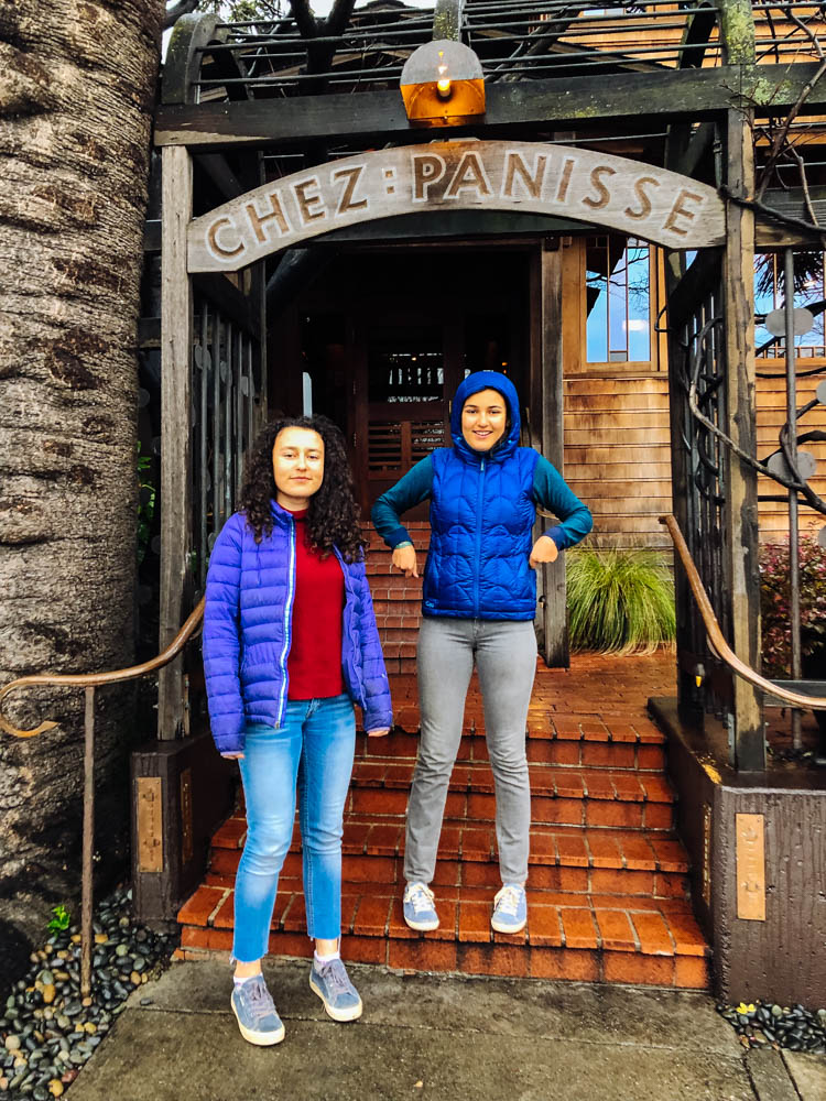
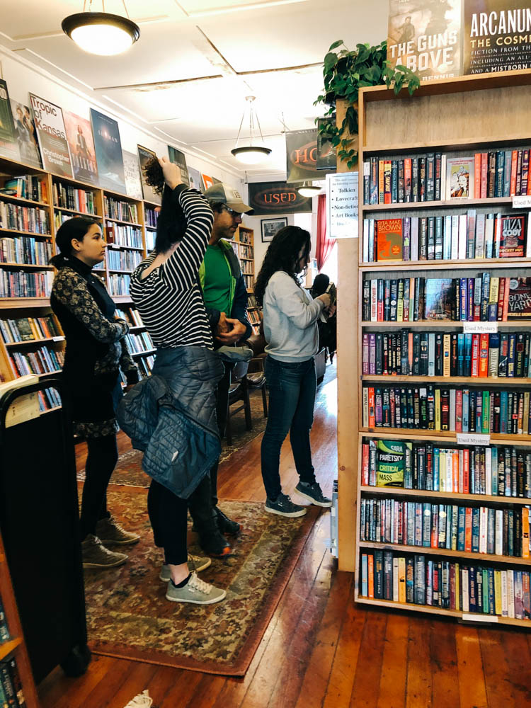
In Berkeley, we went to check out the amazing grocery Berkeley Bowl and had fun looking at all the cool produce, we checked out a few bookstores (Pegasus was great) and thrift shops on Telegraph Ave, and drooled over the menu of Chez Panisse and the Cheeseboard. If you want a quick meal on a budget, check out the food court right by the Imperial Tea Room, they have amazing sushis to go.

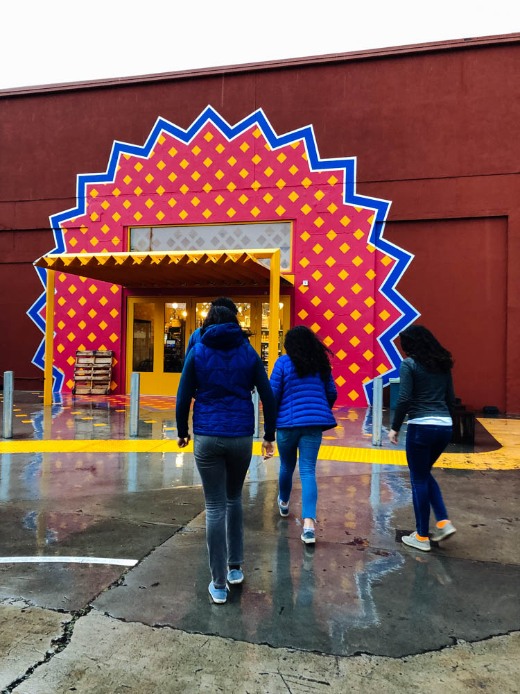
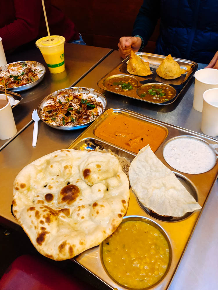
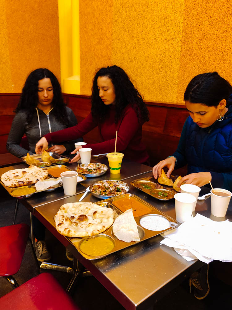
We went to have an early dinner at Vik’s chaat to beat the crowds. Chaat is Indian street food (and it doesn’t mean you eat it in the street here… it’s a big open area behind an indian grocery store). It’s very decently priced (not cheap, nothing is cheap here, but their weekday specials are the best deals, we got 2 of those to share and a few sides) and we discovered new-to-us food (do not skip the cholle bhature if you go!). We then bought what we needed at the store to make a delicious saag paneer at home the next day (for a little over 20$) and some more Indian fare.

We ended the night walking the streets of Oakland and tasting the ice cream at Humpry Slocombe (get their Blue Bottle vietnamese coffee flavor).

Another fun outing would have been to go to Ranch 99 in Richmond (about 20 minutes North of Berkeley, depending on trafic). It’s an asian mall with lots of cool things to see and eat - I hear the dim sums are great. I also really wanted to tour the St. George Spirits distillery in Alameda, but the tours were only on the weekends and children under 21 are not allowed on the premises. There is also Faction Brewing that sounds like a great place to enjoy a beer on an open deck (dogs and children allowed) and watch the city from across the water.


In San Francisco, we went straight to the Mission District to find a spot to park since it was Thursday and we walked around on Guerrero. The Mission was once a multicultural neighborhood of artists and intellectuals and is now an enclave for the privileged… It is still a beautiful place to visit, but it is also a pretty sad reality. Only white college-educated professionals with double income can *maybe* afford it… There are tent and tarp cities on many street corners (and even more in Berkeley and Oakland)...

We went into chez Panisse (one of the best bakeries) and quickly got out when we saw the prices (as tempting as their offers were, we cannot fork out 5,50 US$ for a pain au chocolat - that’s almost 8$ CAN - or 6$ for a *short* baguette!). We checked out Bi-Rite Market around the corner, but the prices were also too high for our budget (they sold the Chez Panisse Country loaf for 11$...) and went to their Creamery across the street instead where we shared a large size bowl (4 flavors) for 7,50$ (always share! That’s the best way to sample the good food on a budget).

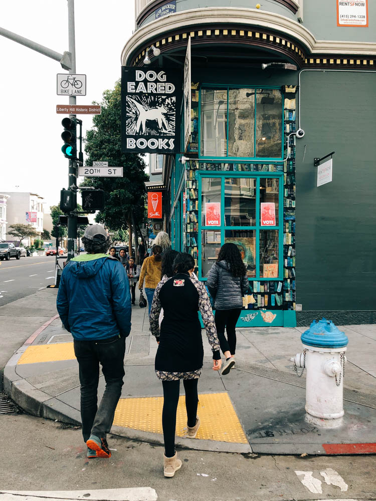
We checked out some cool stores on Valencia, a used and new Scifi and mystery bookstore (Bordelands book), a really beautiful store selling *nomad tools* (mostly amazing journals, charging stations and cute slippers...), JF and I had a coffee at Rituals (the beans a very pricey, so we didn’t buy any…), I went to drool over all the Italian goodies (and Amari!!) at Lucca Ravioli Company (and only left with a jar of passata, I’m such a good girl). We then went to Buffalo exchange - a thrift store - where we found amazing deals. The girls really needed puffy coats and wind breakers and we left with a brand new looking REI insulated vest (19$), a Montbell 800 coat (22$) and a Nike windbreaker (12$).

We thrift about  85 % of our clothes (the 15$ is mostly bike shorts, sneakers and bike shoes). We are by no mean an example of anything… Heck, we still forget our cloth grocery bags way too often. When we lived in the farm, we were much greener in many ways, but I'm pretty sure our ecological footprint was still bigger there than on the road… Anyways, I’m very aware that the #vanlife is simply a new iteration of privilege, so I’m not gonna play holier than thou. We just thrift a lot, it’s good for the planet and good for the budget.

We had an early dinner of burmese food that was delicious. Again, we shared 5 dishes (2 were appetizers) that were simply amazing. If you go to Burma Love, do not miss their Platha & Dip, Nan Pia Dok and Rainbow salad (people rave about their tea leaf salad, but we were not crazy about it). The calamari melt was amazing but too greasy for my taste (my family loved it!).

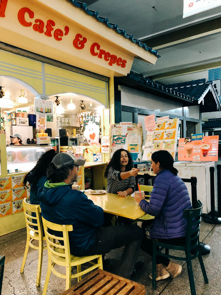
We then headed to Japantown for desert! Japantown is a cool indoor mall (sprawling on both sides of Webster street over 6 blocks - we parked at the Safeway for free parking and got a few things from there). We had read about an ice cream and crepe shop (Belly Good café and crêpe) that made cute little animal face deserts and Mara really wanted one, so she did and we shared a few taro bubble teas (super reasonable prices). We had planned to sample the ramen at Marafuku, but we were not hungry anymore and everything was closing down.

Walking around, we could witness the Japanese "kawaii" phenomenon. Kawaii in Japanese translates roughly as "cuteness", and is a big part of the Japanese popular culture. Kawaii encompasses all the ultra "cute" creatures of Hello Kitty, Pikachu and the numberless anime characters, not to mention all the accessories with big-eyed, baby animals, pink hearts… So if you know Mara, you know she was all over that

One of the coolest spots in SF to see or photograph the Golden Gate Bridge is Crissy Field that you get to by driving through the Presidio (which also has some museums). Crissy Field is on the water and there is a narrow beach right there where you are so close to best close up view of the bridge. There is free parking and the beach is off leash dog friendly- it is just gorgeous. Also if you like fresh clams and oysters, the best place is Swan Oyster Depot- tiny place south one long counter and there is a line down the street to get a seat at the counter- usually an hour wait, but so worth it. Just fresh shucked clams and oysters, clam chowder, big hunks of sourdough bread and cold beer and wine! Also go for a stroll in the Golden Gate Park and drive by the Conservatory of flowers, one of the most beautiful building in SF, and head to the Huntington Falls and Stow Lake and ride the Carousel and visit the Arts Studio, where you can see stained glass artists and jewelers at work. There is a great used book library not too far on Clements called the Green apple books. Go see the Diego Riviera mural at the SF Art institute. You can roam the halls and look at studios. Don’t miss Burma superstar (lots of vegan and vegetarian option, the Rainbow salad was AMAZING). Check out Mission Dolores, it is the first Spanish Mission was created in 1791. It is San Francisco's oldest standing building. There are lots of amazing murals initiated by the Chicano Art Mural Movement of the 1970s and inspired by the traditional Mexican paintings made famous by Diego Riviera. Some of the more significant mural installations are located on Balmy Alley and Clarion Alley. In North Beach district, you can go to Lombard street (the world’s steepest and more crooked street in the world) and check out City Light Bookstore where Jack Kerouac and his friends used to meet for literature and poetry readings. Go to Caffe Trieste, known as the beatnik hangout of the '50s. Their home-roasted coffee is impeccable.

So that is to say: cities are never cheap, but there are ways to make then budget-friendly. Ask the locals you know (in person or online), focus on ethnic food (forget the pretty restaurants, go for the hole-in-the-wall places full of locals, Yelp is your friend). Spend time walking the isles of international markets and buy stuff to cook at home (or in your bus). Share to taste a little of everything.

Also note that our girls often offer to pay if they want something special. We don’t do allowances, but our girls have money from gifts and work they did. They are very reasonable (it’s not always been that way for all 3). They know that our lifestyle doesn’t allow us to splurge (and are very aware of our budget situation since Stout got sick), they also have a clear sense of what they need vs. want (and very little space to put it, be it clothes or books or else), so they choose wisely. And that helps.

Faria Beach, Solvang and the Firestone Walker Brewery

 
_CFO7347_DxO.jpg
The view from beautiful site 7 at Faria Beach County Park.

The view from beautiful site 7 at Faria Beach County Park.

The moon is setting as the sun is rising. A truly magical moment to wake up to (seen from bed and photo taken without even exiting the bus).

The moon is setting as the sun is rising. A truly magical moment to wake up to (seen from bed and photo taken without even exiting the bus).

_CFO7390_DxO.jpg
Faria Beach

Faria Beach

When the locals walk the beach in their puffy coats and surf in their 6 mm wetsuit, Yukon kids be like:

When the locals walk the beach in their puffy coats and surf in their 6 mm wetsuit, Yukon kids be like:

This big guy made it to the beach! What no celebratory burger for me?

This big guy made it to the beach! What no celebratory burger for me?

Cheers!

Cheers!

_CFO7307_DxO.jpg
_CFO7331_DxO.jpg
Watching the sun set over the ocean from home.

Watching the sun set over the ocean from home.

There are many places to camp along the Pacific Coast Highway. Most are overpriced, crowded and noisy. This one is no exception, but if you are lucky enough to reserve site 7, you have a little slice of paradise to yourself (for $36, no services). Be advised that it requires some maneuvering to back into the site (to have your door facing the ocean), especially if the nearby sites are occupied, but it is well worth it. Dogs are allowed to be off leash on the beach.

 
I expected Solvang, the self-proclaimed Danish capital of the USA, to be pretty kitsch, but honestly, old-world Danish architecture and Danish pastries (try the folded crêpe at Mortensen’s) make up for the cheap looking souvenir boutiques and 3 (yes…

I expected Solvang, the self-proclaimed Danish capital of the USA, to be pretty kitsch, but honestly, old-world Danish architecture and Danish pastries (try the folded crêpe at Mortensen’s) make up for the cheap looking souvenir boutiques and 3 (yes, 3!) windmills.

 
We were there on a Tuesday and were impressed by their small but good and affordable Farmer's market. It made this cute little town even more likeable. Our favorite store was the old bookshop where they have the Hans Christian Anderson Museum.

We were there on a Tuesday and were impressed by their small but good and affordable Farmer's market. It made this cute little town even more likeable. Our favorite store was the old bookshop where they have the Hans Christian Anderson Museum.

B4ACE967-F02C-4B02-849A-F5E853565D63.jpeg
 
 
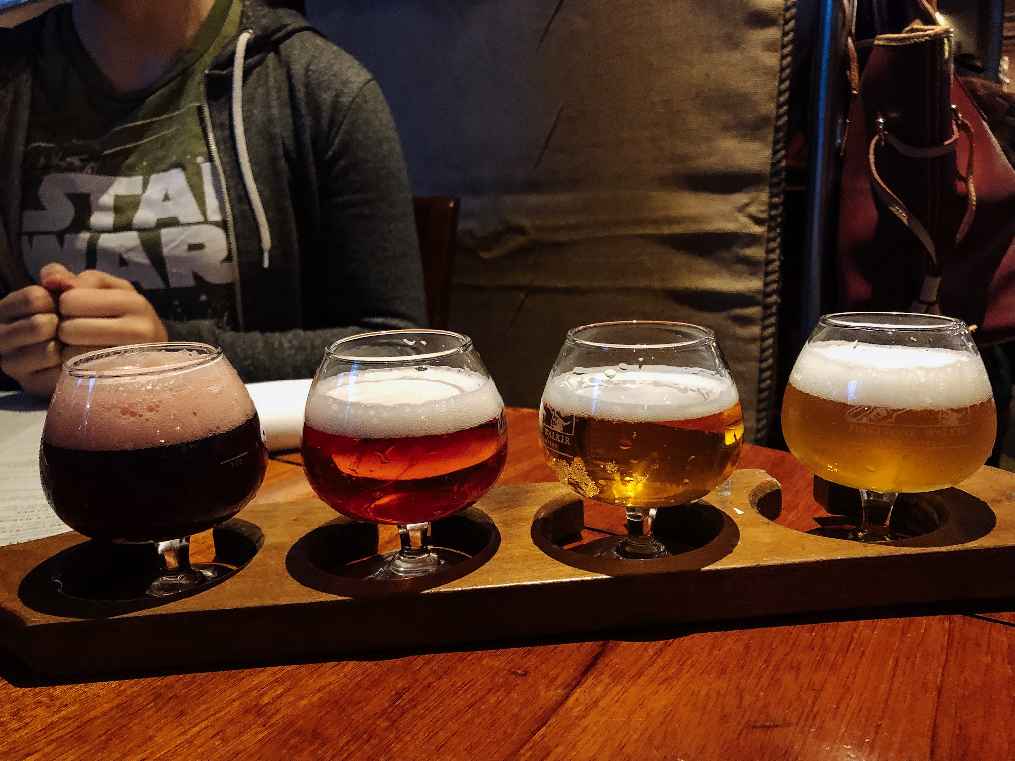
After an afternoon touring Solvang, go have dinner and beer in the next town over, Buellton, home to the famous Firestone Walker Brewery. They specialize in sour beers and have delicious food on offer (the fig and pig pizza with an arugula extra, an…

After an afternoon touring Solvang, go have dinner and beer in the next town over, Buellton, home to the famous Firestone Walker Brewery. They specialize in sour beers and have delicious food on offer (the fig and pig pizza with an arugula extra, and their fried chicken sandwich with sriracha aioli and jalapeno slaw + homemade fries were truly amazing).


As for beer, I really loved their Capt Franc, a beer-wine hybrid at 9.8% produced with Cabernet Franc grapes from the area and aged for 12 months in French Oak with 12 different atypical yeasts. Plenty of barnyard funk with a gueze-like quality. I a…

As for beer, I really loved their Capt Franc, a beer-wine hybrid at 9.8% produced with Cabernet Franc grapes from the area and aged for 12 months in French Oak with 12 different atypical yeasts. Plenty of barnyard funk with a gueze-like quality. I also really wanted to try their Krieky Bones, but they were out.

Death Valley National Park

Zabriskie Point is the Delicate Arch of Death Valley National Park and people gather there at sunset. Being only 15 minutes away from the main Furnace Creek area by car, it is undeniably one of the most popular spots. It is only a 0,1 mile hike up a…

Zabriskie Point is the Delicate Arch of Death Valley National Park and people gather there at sunset. Being only 15 minutes away from the main Furnace Creek area by car, it is undeniably one of the most popular spots. It is only a 0,1 mile hike up a steep paved path to the viewpoint. Bring warm clothes if it is cold, it can get crazy windy there.

Zabriskie Point was named after Christian Zabriskie who was the general manager of the Pacific Coast Borax Company, which was huge in Death Valley during the borax mining days. The view has been featured in many pop culture references as well, with …

Zabriskie Point was named after Christian Zabriskie who was the general manager of the Pacific Coast Borax Company, which was huge in Death Valley during the borax mining days. The view has been featured in many pop culture references as well, with the most notable being the Joshua Tree album cover for the band U2.

Most people know that Badwater Basin in Death Valley National Park is the lowest point in North America (282 ft below sea level), but there's something even more fascinating about that place. When rainstorms flood the valley bottom like it did in th…

Most people know that Badwater Basin in Death Valley National Park is the lowest point in North America (282 ft below sea level), but there's something even more fascinating about that place. When rainstorms flood the valley bottom like it did in the last few weeks, the salt expanse is covered with a thin sheet of standing water. Each newly-formed lake does not last long, because the 1.9 inches of average rainfall is overwhelmed by a 150-inch annual evaporation rate. This means that even a 12-foot-deep, 30-mile-long lake would dry up in a single year!!! How crazy is that?

From the parking lot, you can see the sea level sign that is located 280 feet above you on the adjacent mountain. It really puts in perspective how low you are when you see it compared to the mountain.

From the parking lot, you can see the sea level sign that is located 280 feet above you on the adjacent mountain. It really puts in perspective how low you are when you see it compared to the mountain.

Look at those cool salt crystals! You can even taste them!

Look at those cool salt crystals! You can even taste them!

As soon as you enter the walk out on the platform you are immediately greeted with a huge lake of what looks like snow. This water is so high is salt content that almost nothing can actually live there. The salt flat itself is 5 miles long. Badwater…

As soon as you enter the walk out on the platform you are immediately greeted with a huge lake of what looks like snow. This water is so high is salt content that almost nothing can actually live there. The salt flat itself is 5 miles long. Badwater Basin is a truly unique place to stop. You don’t need a lot of time here, but it is worth checking out. Also note that it is very often windy there.

Golden Canyon is one of the many sites where different parts of the original Star Wars movies were filmed. It is the most popular hike in all of Death Valley National Park and is a little over 3 miles round trip, depending on where you stop. The par…

Golden Canyon is one of the many sites where different parts of the original Star Wars movies were filmed. It is the most popular hike in all of Death Valley National Park and is a little over 3 miles round trip, depending on where you stop. The parking lot is about 10 minutes South of Furnace Creek.

It has gaping canyons, massive boulders, waves of plantless terrain and even a large red rock called the Red Cathedral at the end. You can totally picture a few stormtroopers appearing around a boulder. You can see some of the reconstructed scenes v…

It has gaping canyons, massive boulders, waves of plantless terrain and even a large red rock called the Red Cathedral at the end. You can totally picture a few stormtroopers appearing around a boulder. You can see some of the reconstructed scenes vs the original scene here.

Approaching the Red Cathedral (in the back).

Approaching the Red Cathedral (in the back).

After leaving Death Valley from the south west road, we decided to stop to visit another geologically interesting place near Searles Lakes. When you visit Trona Pinnacles, you cannot help but feel like you are on the moon or on another planet. The u…

After leaving Death Valley from the south west road, we decided to stop to visit another geologically interesting place near Searles Lakes. When you visit Trona Pinnacles, you cannot help but feel like you are on the moon or on another planet. The unusual landscape is made up of more than 500 spires, some as high as 140 feet, rising from the bed of the Searles Dry Lake basin. The pinnacles vary in size and shape from short and wide to tall and thin, and are composed primarily of calcium carbonate (tufa), like those found in Mono Lake. The pinnacles were formed underwater from 10,000 to 100,000 years ago when Searles Lake was one of a chain of interconnected Pleistocene lakes stretching from Mono Lake to Death Valley.

The Trona Pinnacles are not in Death Valley, they are truly in the middle of nowhere, about 25 minutes east of Ridgecrest, and are one of those places that have to be seen to be believed. Like the Alabama Hills, it is hard to do justice to the sheer…

The Trona Pinnacles are not in Death Valley, they are truly in the middle of nowhere, about 25 minutes east of Ridgecrest, and are one of those places that have to be seen to be believed. Like the Alabama Hills, it is hard to do justice to the sheer beauty of these massive rock structures that jot a landscape that is almost entirely barren and flat.

The Pinnacles are recognizable in more than a dozen movies. Over thirty film projects a year are shot among the tufa pinnacles, including backdrops for car commercials and sci-fi movies and television series such as Battlestar Galactica, Star Trek V: The Final Frontier, Disney's Dinosaur, The Gate II, Lost in Space, Planet of the Apes, and more recently the movie Holes.

There is a short half mile hiking trail, but you can drive around easily in a 4 x 4 vehicle to see the formations. They were more impressive from afar in my opinion. There are designated camping spots and the area is very well defined with rocks to …

There is a short half mile hiking trail, but you can drive around easily in a 4 x 4 vehicle to see the formations. They were more impressive from afar in my opinion. There are designated camping spots and the area is very well defined with rocks to prevent driving over the fragile areas. Please set up camp only where there is already a fire ring outside of the rock-fenced areas. There was no usable cell signal there.

We have decided to camp at Texas Spring Campground, since it is the cheapest and the more beautiful. There are no services and a no generator rule. There is a dump, water and toilet on site. Note that for 5$ per person (during the week, $10 on weekends), you can access the hotel warm fed spring pool and showers. The pool was just too cold - 85 F - to be comfortable when we were there (it was cold and windy that night). Note that you only need one card ($5) to enter the pool and shower area and that there is no lifeguard or staff on duty there, so decide accordingly ;)

There are more hikes and sights to see in Death Valley, but some were closed when we were there since the recent rains had washed out the roads or there were closures due to construction. We wanted to hike Mosaic Canyon, check out Scotty’s Castle and bike Titus Canyon, but couldn’t.

We passed on the Mesquite sand dunes since we had just been at the Kelso dunes in the Mojave desert (that are bigger and more impressive) and the Racetrack (those moving rocks that have left tracks behind them) since it is located at the end of rough dirt road and is an adventure in itself.

*Be advised that exiting Death Valley through the west (road from Stovepipe Wells to Panamint Springs) requires driving a very long twisty downhill section that could be hard on your brakes if you tow a trailer or drive a motorhome. We separated the Westy from the bus for the long climb and descent and it still was a bit nerve-wracking, glad we have a brake retarder on the bus. A friends’ brakes caught on fire there. Be warned and drive slow.

Interesting facts about Death Valley:

Death Valley National Park is the largest national park in the Lower 48 at a whopping more than 3.4 million acres.

The highest recorded temperature in the world was recorded in Death Valley’s Furnace Creek at 134 Fahrenheit in July, 1913. For almost one hundred years, a false recording made in Libya overshadowed Furnace Creek’s claim to fame. In 2012, however, the record went back to Death Valley after it was concluded that the Libyan recording was made in error.

Death Valley is only 76 miles from the highest point in the country, Mt. Whitney, which tops out at an elevation of 14,505 feet. In other words, the lowest and highest points in the contiguous U.S. are less than 100 miles apart!

There is every year an ultramarathon in Death Valley called the Badwater 135, which links these two points! The race organizers description goes like this : Covering 135 miles (217 km) non-stop from Death Valley to Mt. Whitney, CA, the Badwater 135 is the most demanding and extreme running race offered anywhere on the planet. The start line is at Badwater Basin, Death Valley, which marks the lowest elevation in North America at 280’ (85m) below sea level. The race finishes at Whitney Portal at 8,300’ (2530m), which is the trailhead to the Mt. Whitney summit, the highest point in the contiguous United States. The Badwater 135 course covers three mountain ranges for a total of 14,600’ (4450m) of cumulative vertical ascent and 6,100’ (1859 m) of cumulative descent.

From this blog.


The Mojave National Preserve

_CFO7010_DxO.jpg
_CFO7013_DxO.jpg
Pencil cholla in front of a big Joshua Tree.

Pencil cholla in front of a big Joshua Tree.

_CFO6985_DxO.jpg
Great campspot among the Joshua Trees.

Great campspot among the Joshua Trees.

_CFO7044_DxO-2.jpg
The Mojave desert is the driest desert in North America, receiving less than 2 inches of rain a year. One of the most significant dunes in North America, the Kelso Dunes stick out like a sore thumb in the landscape of the Mojave.

The Mojave desert is the driest desert in North America, receiving less than 2 inches of rain a year. One of the most significant dunes in North America, the Kelso Dunes stick out like a sore thumb in the landscape of the Mojave.

_CFO7057_DxO.jpg
It is a pretty challenging hike in the sand, but they are known as the singing dunes, a phenomenon you can experience if you slide down slowly, generating a low-frequency rumble that can be both felt and heard. Watch this YouTube video if like me, y…

It is a pretty challenging hike in the sand, but they are known as the singing dunes, a phenomenon you can experience if you slide down slowly, generating a low-frequency rumble that can be both felt and heard. Watch this YouTube video if like me, you have a hard time picturing what it can sounds like. We went to explore them, but didn’t have the courage (or the time) to climb all the way up.

F8B664CB-F722-4A51-8081-2F2F679C7C77.jpeg
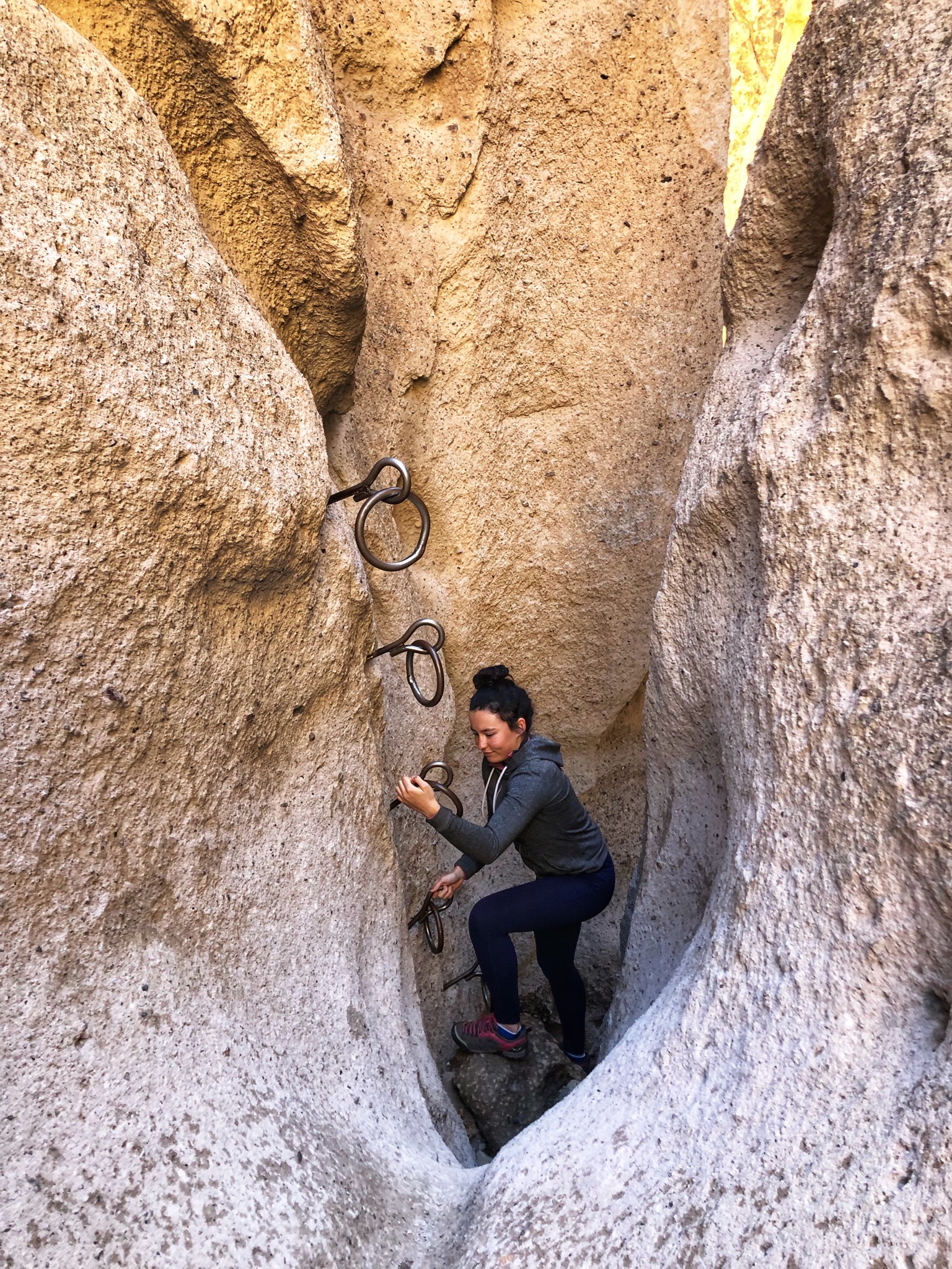
Our favorite place was the Rings Trail; it’s one of the best 2 miles hikes you can do. We decided to go down the rings and back up at the end of Banshee canyon to experience the rings again, since the rest of the trail is more traditional hiking thr…

Our favorite place was the Rings Trail; it’s one of the best 2 miles hikes you can do. We decided to go down the rings and back up at the end of Banshee canyon to experience the rings again, since the rest of the trail is more traditional hiking through the desert.

Banshee Canyon

Banshee Canyon

826D5AB1-6FFC-4434-8857-98C43391DE93.jpeg
The Kelso Depot is quite the unusual Visitor Center. I wrote its story below.

The Kelso Depot is quite the unusual Visitor Center. I wrote its story below.

The Kelso Depot’s beautiful Spanish Colonial revival style architecture.

The Kelso Depot’s beautiful Spanish Colonial revival style architecture.

If you are just driving through the Mojave desert, you might think it is a big expanse of desolate land; but once you take some time to explore its remote corners, you realize it’s a pretty special place with singing sand dunes, lava tubes, cinder cones, abandoned mines and the highest concentration of Joshua Trees in the world. (Near the cross on the Teutonia peak trail, you will find the largest Joshua Tree forest in the world. Most people assume it is in Joshua Tree National Park, but it is actually here in Mojave National Preserve.)

While you are there, take a look at the Cima Dome. Most people would probably go past it if they didn’t know it was special but once you notice it, it is pretty crazy. It looks like the land is being viewed through a fisheye lens (from this site, lots of great info on the area).

We decided to stay at the Hole in the Wall campground since it is located right next to the Rings Trail and since it is one of the only places in the park where we knew we would have decent connexion for work. This campground is 12 bucks a night, first come first served and has water. It is a great spot to stay at and has amazing surrounding mountains and views.

You can camp at most spots in Mojave National Preserve as long as they have fire pits set up. This allows you to be able to camp in some amazing places. Just be sure to respect the environment if you chose a spot like this. Know that the connexion is very spotty in the Preserve and that most place won’t have signal strong enough to allow you to work.

There is no gas and no food in the park, and many of the backroads are washboards and only accessible by 4 x 4.

The story of the Kelso Depot

The first depot was built in 1905, when the Union Pacific wanted a foothold on the West Coast, but the actual building was built in 1924 and included a conductor’s room, telegraph office, baggage room, dormitory rooms for staff, boarding rooms for railroad crewmen, a billiard room, library and locker room.

Originally, the restaurant and telegraph office each had three shifts, operating around the clock. This continued through the boom years of the 1940s, when Kaiser’s Vulcan mine caused Kelso’s population to grow to nearly 2,000. The closing of the mine coupled with diesel engines replacing steam resulted in the UP moving jobs and families out of Kelso. In 1985 the UP decided to close the Kelso Depot entirely.

Believing that the now empty building would become “a target for vandalism, unauthorized entrance, and a legal liability,” the UP Division Superintendent made plans to raze the building. Local residents and others across the region heard about the proposed demolition and began to publicize the building’s plight.

They organized into the Kelso Depot Fund and set about saving the building. While they were able to stop the demolition, the costs of restoration grew too expensive for the group and they turned to local politicians and the federal government for assistance. Members of Congress from the area went to work, and by 1992, the BLM had the title to the building. Renovation of the Kelso Depot began in 2002. The building reopened to the public as the new visitor center for Mojave National Preserve in October, 2005.


Sawtooth Canyon, aka New Jack City, CA

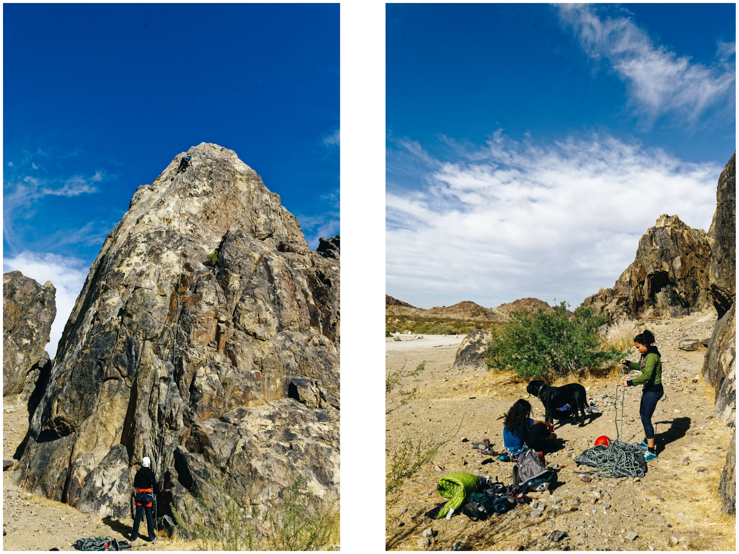
Our beautiful free campsite! If you zoom in, you can see Mara climbing on the right most crag, in line with the top of the picnic table roof.

Our beautiful free campsite! If you zoom in, you can see Mara climbing on the right most crag, in line with the top of the picnic table roof.

She's free soloing now. We're cool with that. Just kidding, mom.

She's free soloing now. We're cool with that. Just kidding, mom.

The Valentine Wall, where we saw 2 tarantulas...

The Valentine Wall, where we saw 2 tarantulas...

Cat on Love Potion 9 (5.7) trying not to get blown away on that arete. We arrived at New Jack City on a Thursday night, which meant we only had Friday to climb before the weekend crowd got here. It was a crazy windy day (35 miles per hour constant w…

Cat on Love Potion 9 (5.7) trying not to get blown away on that arete. We arrived at New Jack City on a Thursday night, which meant we only had Friday to climb before the weekend crowd got here. It was a crazy windy day (35 miles per hour constant wind gust crazy), but we still climbed in a super fun gully right behind our campsite (Valentine Wall).

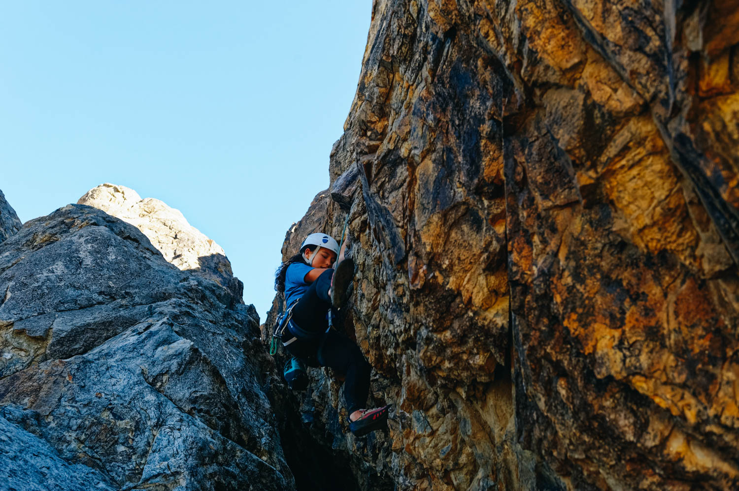
Mara on Cupid's Fever (5.8)

Mara on Cupid's Fever (5.8)

Mara on My Bloody Valentine (5.10 a) on the Valentine Wall.

Mara on My Bloody Valentine (5.10 a) on the Valentine Wall.

Stout wondering what the heck his human is doing up a rock wall.

Stout wondering what the heck his human is doing up a rock wall.

Mathilde on Jack be Nimble (5.8)

Mathilde on Jack be Nimble (5.8)

The twins on The Boy Scout Wall.

The twins on The Boy Scout Wall.

Mara leading Green Eggs and Ham (5.7)

Mara leading Green Eggs and Ham (5.7)

_CFO9136_DxO.jpg
Mathilde on top of Jack be Nimble (5.8), on the Boy Scout Wall.

Mathilde on top of Jack be Nimble (5.8), on the Boy Scout Wall.

Climbing on the Welcome Wall, right by our campsite.

Climbing on the Welcome Wall, right by our campsite.

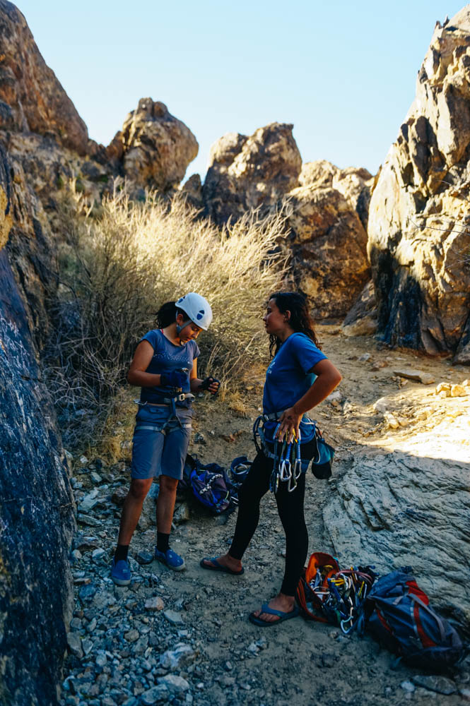
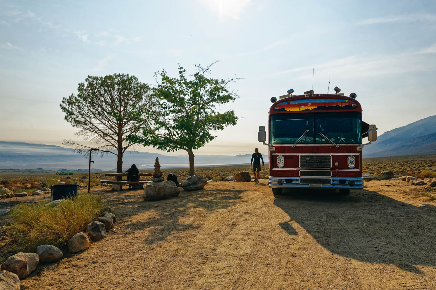
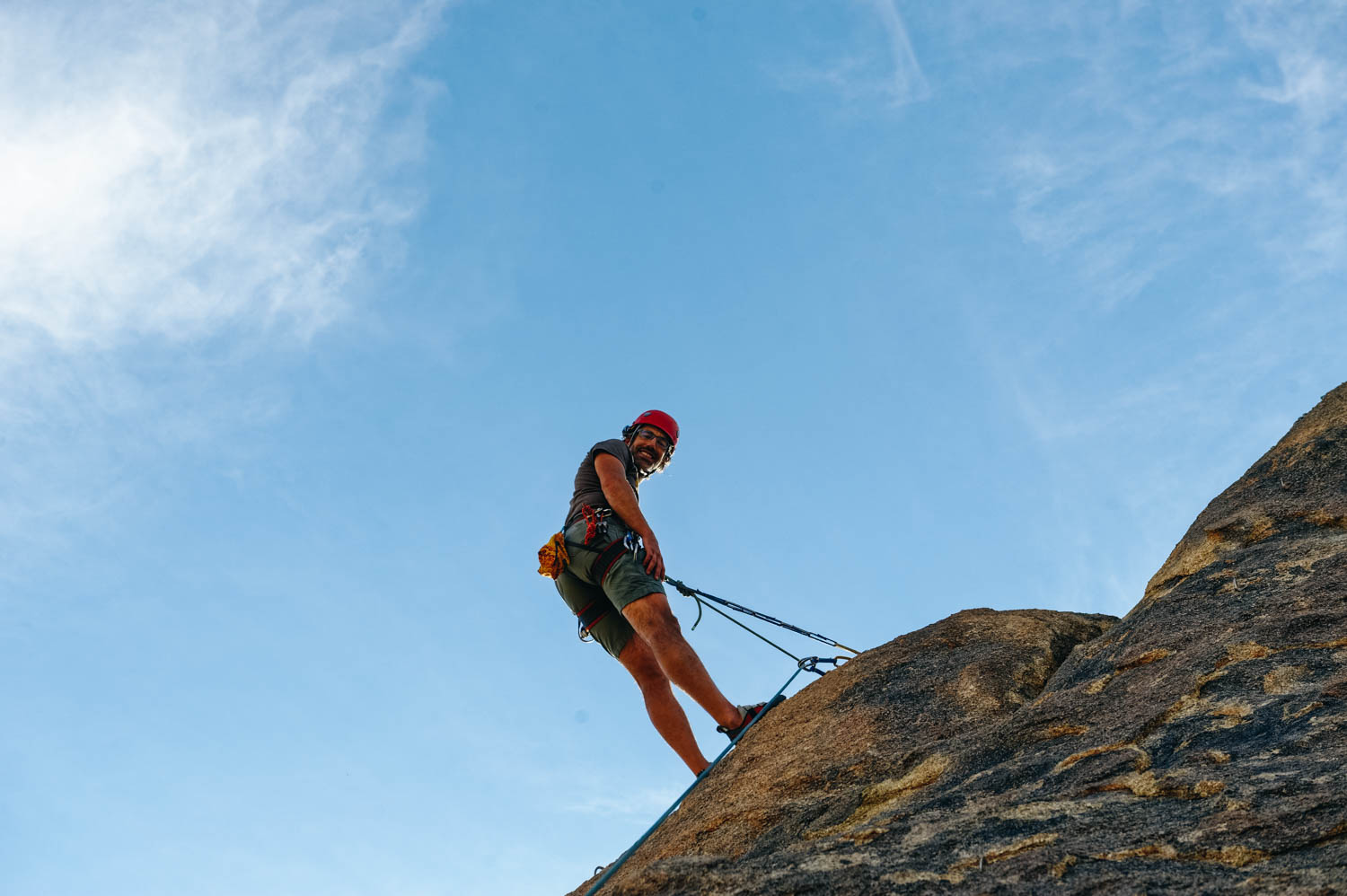
We spent most of our days in our climbing harnesses, taking turns on the routes, just shouting next when a climber was done. The bus door would open and another eager climber would spill out, pausing what he was doing. We translated and cooked in our harnesses. We were a funny sight, but it was wonderful to have so many great routes right by the bus. This place is so great! These perfect campsites are available for free (Sawtooth Canyon Campground: GPS 34.6703, -116.984)

The surrounding landscape is breathtaking. Most campsites are very private. There are 16 sites, and the campground is opened all year round. Each site has a picnic table, grill and fire pit. There are vault toilets. No potable water or dump station available on site. If you come from Barstow (25 minute drive), you can fill your water tank with potable water at the Flying J gas station. There is a big Vons grocery store there too. You must pack out your garbage as there is no trash can at the campground.

You will have to drive around to find the best spots for signal. Site 2 had great Verizon signal. The sites just behind the rocks don’t have signal, but the ones further at the back seemed to have good signal too. It can get very windy, very quickly, so don’t leave awnings out or things outside that could fly away. The only downside of this place is that there is a lot of broken glass everywhere (watch out for your dogs’ paws). We also encountered two tarantulas during our stay. The site is used by boy scouts association on weekends, so we were happy to be further from the crowd (who sets up at the far end where there is a group campsite area).

There are tons of amazing rock climbing routes right behind the sites, so be aware that you might have climbers in your backyard (or on your site) if you chose a site by climbing routes (look for bolts on the walls). Site 2 is just by the Valentine Wall and the Welcome Wall and we climbed all the routes on these two walls. We then moved on to the Boy scout Wall (near the group campsite area) on warmer day (it’s in the shade all day). There are many more walls to explore and we will be back when the weather is cooler.

The Alabama Hills, Lone Pine, California

_CFO8629_DxO.jpg
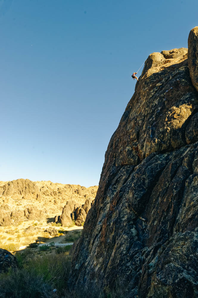
One of the shortest approach walks we ever had to go climbing. 

One of the shortest approach walks we ever had to go climbing. 

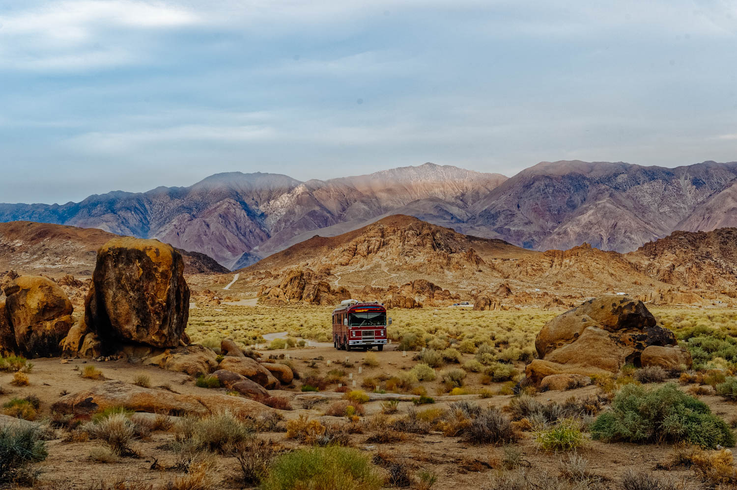
Our backyard for a week.

Our backyard for a week.

Beautiful long routes.

Beautiful long routes.

_CFO8639_DxO.jpg
It was the place we chose to stay to celebrate Mathilde's 12 yo birthday.

It was the place we chose to stay to celebrate Mathilde's 12 yo birthday.

And JF's 40th!

And JF's 40th!

The Sierras (and Mt. Whitney) looming just behind the Alabama Hills.

The Sierras (and Mt. Whitney) looming just behind the Alabama Hills.

Hiking up to Lone Pine Lake from Whitney Portal.

Hiking up to Lone Pine Lake from Whitney Portal.

Gorgeous Lone Pine Lake.

Gorgeous Lone Pine Lake.

_CFO8792_DxO.jpg
We ended up moving to Tuttle Creek Campground to have good signal to be able to work (Verizon signal is bad and spotty in the Hills, AT&T was better).

We ended up moving to Tuttle Creek Campground to have good signal to be able to work (Verizon signal is bad and spotty in the Hills, AT&T was better).

For $8/night, this place was amazing. Site 53 at Tuttle Creek Campground.

For $8/night, this place was amazing. Site 53 at Tuttle Creek Campground.

And we were very close to another climbing sector called the Candy Store, with fun short routes, perfect for a few climbs before sunset after a day of work/school.

And we were very close to another climbing sector called the Candy Store, with fun short routes, perfect for a few climbs before sunset after a day of work/school.

_CFO8864_DxO.jpg
_CFO8860_DxO.jpg
Very smoky sunset behind Mt. Whitney.

Very smoky sunset behind Mt. Whitney.

Red smoky sunrise in the Alabama Hills.

Red smoky sunrise in the Alabama Hills.

_CFO8953_DxO.jpg
_CFO8958_DxO.jpg
_CFO8963_DxO.jpg

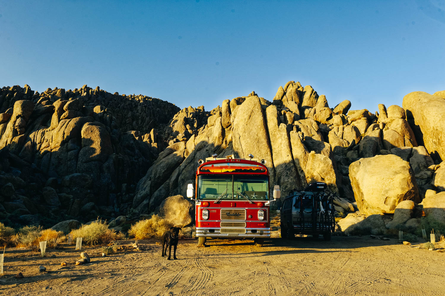
The Alabama Hills are probably the free camping spot that made boondocking what it is today. It's also a very unique location where more than 400 movies were shot (lots of cowboy movies, but a few Sci-Fi too... remember Tremors?). After having heard so much about this place and seen so many pictures, I was afraid to be disappointed. It is a super vast area where you can find a secluded spot between boulders and have climbing routes right in your backyard while looking at the sunset over Mount Whitney. Sounded too good to be true. Well, it almost is... if you need decent signal to work. But if you don't (we had 5 days off for Mathilde and JF's birthdays), it really is the perfect boondocking spot.

For the work week, we ended up moving 5 miles away at Tuttle Creek Campground where there is very good Verizon signal (and beautiful campsites) for $8/night.

As for climbing in the area, there are tons of sports routes. The granite is similar to Joshua Tree, there are lots of slabby routes with small crimpy holds. We loved The Tall Wall (Rotten Banana, Bananarama, Banana Split), the Hoodgie Wall (Ankles Away, Leonosphere) and had fun on the short routes in the Candy Store for quick afternoon climbs after work. We didn't make it to the Arizona Dome.

We went to visit the Lone Pine Film History Museum and had delicious burgers (skip the fries, get the beer battered onion rings) at The Alabama Hill Café (note that it is only open from 7 am to 2 pm every day, no dinner hours).

The grocery store in town is nothing great. It's pricey and the quality of the produce and meat is not great. You can dump ($5, no fresh water at the dump) and fill (for free, near site 50 by the out house) at Tuttle Creek Campground. You can also fill with water in town at the gas station near the city park.

The Mammoth Lakes area

_CFO8364_DxO.jpg
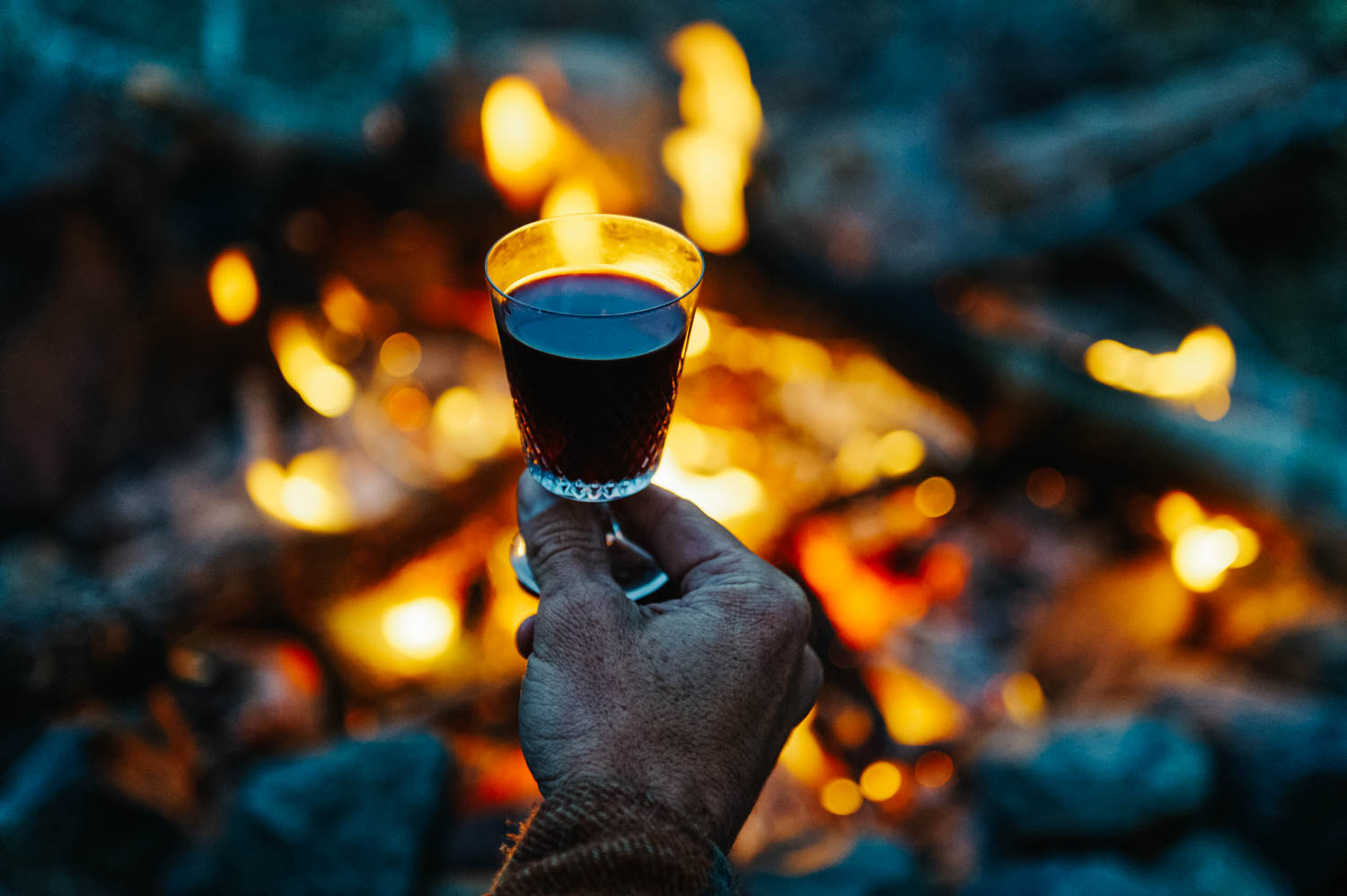
Mulled wine is perfect for cold nights by the fire.

Mulled wine is perfect for cold nights by the fire.

One morning, we woke up to snow!

One morning, we woke up to snow!

Beautiful frost everywhere.

Beautiful frost everywhere.

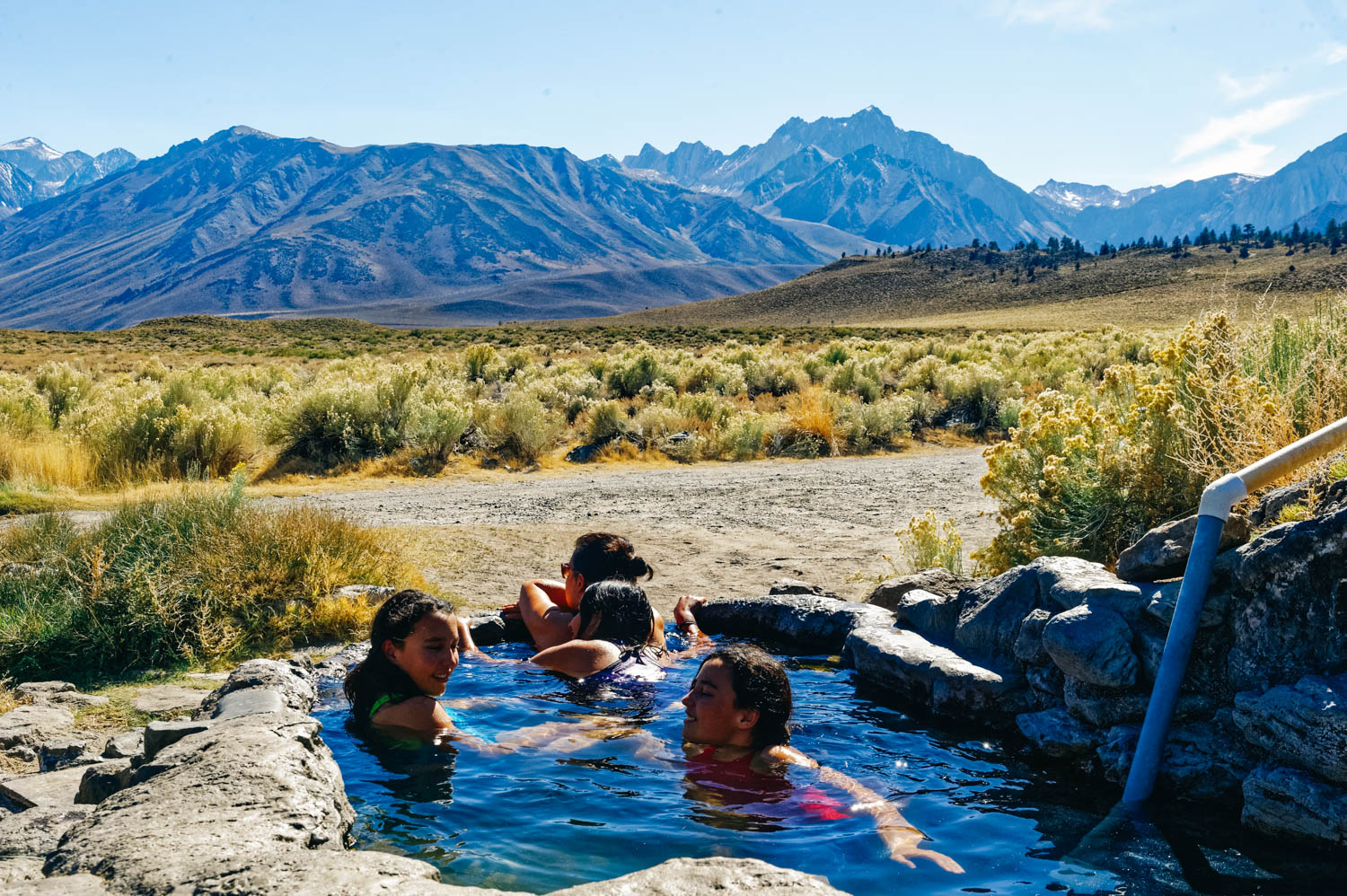
Rock tub hot springs.

Rock tub hot springs.

Rock Tub hot springs.

Rock Tub hot springs.

_CFO8407_DxO.jpg
_CFO8410_DxO.jpg
Hot Creek is NOT a hot spring for swimming. See below.

Hot Creek is NOT a hot spring for swimming. See below.

We rode many times at Mammoth Mountain even if the bike park was officially closed for the season (no lifts), the trails remained open. It is at 9,000 feet in altitude and it was pretty cold. That's the day it was 3 degrees C (35 F). We ended our da…

We rode many times at Mammoth Mountain even if the bike park was officially closed for the season (no lifts), the trails remained open. It is at 9,000 feet in altitude and it was pretty cold. That's the day it was 3 degrees C (35 F). We ended our day at the Mammoth Brewery. Delicious beer and food. Don't miss it if you are in the area.

mm.jpg
Devil's Postpile National Monument.

Devil's Postpile National Monument.

Devil's Postpile seen from above (left) and another cool basalt columns formation from the area on the right.

Devil's Postpile seen from above (left) and another cool basalt columns formation from the area on the right.

Exploring Obsidian Dome.

Exploring Obsidian Dome.

Full moon rise over our camp.

Full moon rise over our camp.

Rock climbing at Owens River Gorge.

Rock climbing at Owens River Gorge.

The class 3 scramble approach to get to the crag at Owen River Gorge was quite something with big packs and a big dog!

The class 3 scramble approach to get to the crag at Owen River Gorge was quite something with big packs and a big dog!

Our free campsite at Shepard's hot springs.

Our free campsite at Shepard's hot springs.

You can see the bus in the distance.

You can see the bus in the distance.

Perfect way to start the day.

Perfect way to start the day.

Or to end it.

Or to end it.

The Crab Cooker was our favorite of the 3 hot springs we visited. It was also the cleanest (it looked like it had just been emptied and scrubbed). It was only a 5 minute walk from our camping spot at Shepard's Hot Spring. And yes, all this is on BLM…

The Crab Cooker was our favorite of the 3 hot springs we visited. It was also the cleanest (it looked like it had just been emptied and scrubbed). It was only a 5 minute walk from our camping spot at Shepard's Hot Spring. And yes, all this is on BLM land (and free!).

Walking back to camp from the Crab Cooker tub.

Walking back to camp from the Crab Cooker tub.

One of the things your learn after many years on the road is that if you find a gem of a secret spot to camp in, you don't share it on social medias or camping sites/apps. Another thing that you learn is that if there is a long weekend coming, you stay put. Even if you would really like to go climbing at Owens River Gorge and take advantage of that long weekend yourself (because no, we do not make our work schedule and have full days off only on weekends). On long weekends, you stay around camp and explore less popular spots. For your own sanity.

There is a lot to do in the Mammoth Lakes ares. There is an awesome bike resort with lots of amazing trails. Mammoth Mountain closes mid-September, but the trails remain open for riders to enjoy. At 9,000 feet of altitude, it can get cold at this time of year. We went riding in 3 degree C weather (that's 35 F). There is also a great brewery (Mammoth Brewery), perfect for an after-ride brew and delicious meal.

There are also many hot springs in the areas, the most popular being Hilltop (aka Pulkey's) and Wild Willy's. These are often full of people. The thing is, most of the springs are bathtub size and can sit 4 to 5 persons at most (Wild Willy being the exception, there are a few pools there that can accommodate more people), so if you get there and they are full, the courtesy is to leave (not wait there or worst, try to squeeze in). Many of these are clothing optional too.

We really liked Rock Tub since it is right by the little parking area and you don't have to hike to find out if it's full or not. The first time we tried to go to the hot springs, on a very cold night after our bike ride, we found it full, so we turned around, checked out Hilltop and Wild Willy's which were also full... It's the reality of it... It's high season here and there are not secret spots anymore. So we came back the next day in the afternoon and lucked out as the man bathing there was just done. During the hour we were there, 3 or 4 cars drove in, saw that the tub was busy and turned around. The water gets pretty dirty from all the people (even if there is a constant flow in and out. There is a plug at the bottom, so you can empty the tub and let it fill back up. You can also bring a brush to scrub the slippery algea that covers the bottom if you want. Obviously, don't use any soap in the tubs!

We also explored Shepard's Tub and the Crab Cooker, that are *a bit* less busy. We ended up camping there for 2 nights and enjoying Shepard's Tub and the Crab Cooker morning and night. It was heavenly after a day of climbing! If you decide to go camp near a hot spring, remember that this is a public place and do not hug the tub (or park very near it). People will likely come and go every hour or so (and at every hour of the night on weekends!), so be warned.

Hot Creek used to be a hot spring in the 60's and 70's. We met a man at Shepard's who used to be a guide and would bring tourists there. He said there was a huge pool where there was always 50 to 60 people. It has been closed for 15-20 years because too many deaths happen there. He told us that most deaths were caused by people trying to rescue their dogs who had fallen in the blue pools of death (the beautiful Icelandic blue pool in the picture above) which is and has always been scalding hot. It is nonetheless a geological wonder where the cold water from the glacier meet the bubbling water from the underground volcanic activity. The ground is unstable in the area because of fumaroles and occasional geyser action also.

Devils Postpile (a National Monument) is an unusual rock formation of 60 feet high basalt columns. It looks like a tidy lumber pile created by OCD giants. They were formed when lava erupted in the valley nearly 100,000 years ago and filled the area to a depth of 400 feet. Then, glaciers overrode the fractured mass of lava. As you can see on the pictures taken from the top, the glaciers cut the hexagonal basalt towers, leaving behind something that looks like a tile floor. The John Muir Trail and Pacific Crest Trail merge into one trail as they pass through the monument.

Obsidian Dome is not your typical cone-shaped dome, but more like a big pile of shiny black rock. It is indeed volcanic glass that was formed by an explosion (a Phreatic Blast) when magma reached the water table, turned the water to steam, cooled and then turned to rock. There is not much else to do there than to simply scramble up and look at the beautiful obsidian formations (be careful, it is slippery). Obsidian is the sharpest natural material known to man, obsidian rocks have played a significant role in the evolution of homo-sapiens' tool-making ability. During the Stone-Age and beyond, obsidian rocks have played a major part as primary cutting tools in many cultures.

Yosemite National Park

Tioga Pass

Tioga Pass

_CFO8315_DxO.jpg
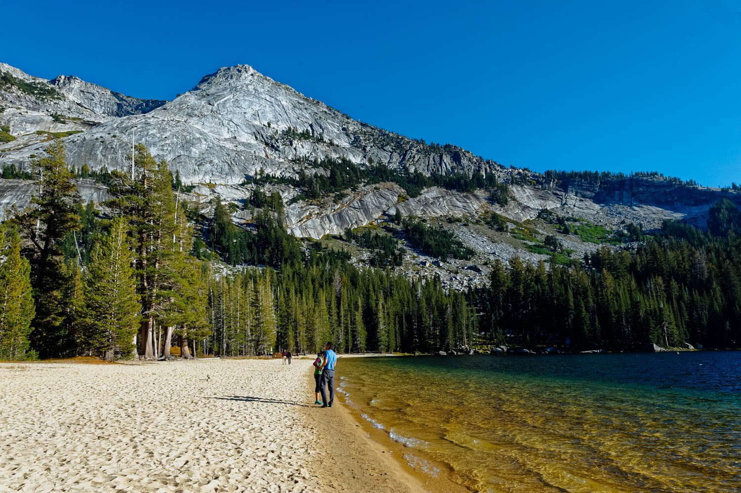
Tenaya Lake

Tenaya Lake

_CFO8300_DxO.jpg
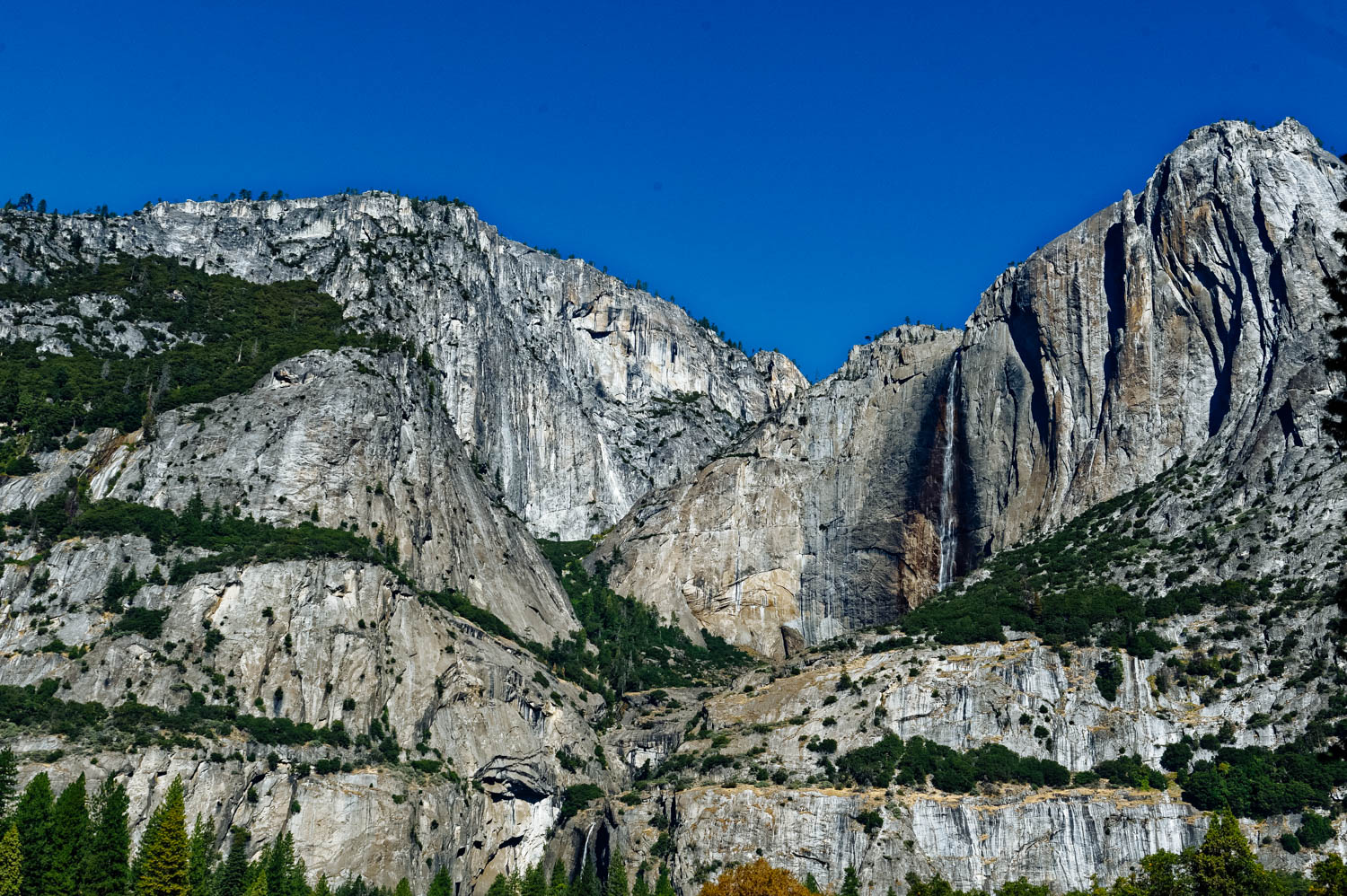
Upper Falls

Upper Falls

Lower Falls

Lower Falls

Climbers near Camp 4.

Climbers near Camp 4.

What's so fabulous about Yosemite? It’s got dozens of incomparable meadows and more than a hundred lakes, plus waterfalls as tall as a 200-story building, trees the size of rocket ships, gorgeous mountains, 800 miles of trails and even a few beaches. It’s bigger than a handful of European countries and nearly the size of Rhode Island.

We have been wanting to spend time in Yosemite for a long time, but because you need to reserve a camping spot a very long time in advance and because there wasn’t cell signal in the Valley and that we could not be there during the week when we need to work, we never made it. We found out there is good signal in the Valley where the campgrounds are located, but the download was pretty bad… but it was on a busy Sunday afternoon, so it might be just fine during the week when there is less usage. So we only came in for a day to get a feel of Yosemite. I don’t know how I thought I could get a *feel* for such a special place in one day among a huge crowd of people (I don’t do well in crowds. At all.).

I believe that to really get a feel for Yosemite, you need to hike deep into it, to explore its wilder corners, to see half-dome from the top, to fall asleep and wake up on its ground. Walking in the Valley and hiking up to the very crowded Lower Fall didn’t provide this experience, and I knew it wouldn’t, but that’s all we could do this year.

I remember feeling a bit like that the first time I went to the Grand Canyon (after months of exploring Utah’s hidden slot canyons and less busy National Parks – at the time). It felt impersonal, it didn’t touch me until I walked down into the canyon before sunrise and could start feeling its immensity as the sun rose. It was the same thing for Zion. The first time we went there, we rode the shuttle, hiked a few shorter trails (the girls were little) and even if I could see its beauty, I didn’t fall in love with it until the next time we went and hiked all the way up to Observation Point very early in the morning without the crowd. And the third time, when I hiked the Narrows, again early in the morning.

We didn’t bring our climbing gear because it didn’t make sense to for only a day, but it was so impressive to watch climbers on these beautiful tall granite walls. Again, I expected to be moved by the fact that rock climbing really began here in the Valley in the 60’s with all the now iconic climbers living at Camp 4. I expected that I would feel something special walking through Camp 4, looking at El Cap and Half Dome, but I didn’t really. I mean, they are beautiful and impressive, but as a climber (a very occasional one), I guess I expected to feel something more… and maybe I would if I had climbed there. Just scrolling through my Instagram feed as we waited in line for over 30 minutes to get out of the park, I could see that many amazing *famous* climbers that I follow were there and climbing boulders and walls as we droved and walked past some of them…

If your schedule allows it, visit the valley on weekdays and spend your weekends exploring other parts of Yosemite. You can drive or take free shuttle buses to much of the valley, but most enjoyable way to get around in the Valley is probably by bikes. If you didn’t bring your own bike, you can rent one at Curry Village, near the east end of Yosemite Valley and look funny wandering around the valley on these big cruiser bikes.

There are four non-camping options in Yosemite Valley: the $500-a-night Ahwahnee Hotel, the Yosemite Lodge, the cabins and tent cabins at Curry Village, and the quirky tent/house hybrids at the Housekeeping Camp. Good luck getting into any of them in the summer without a reservation well in advance, though. Same thing for the campgrounds… The Upper Pines, Lower Pines and North Pines campgrounds contain 379 campsites between them. There is also the famous Camp 4, a tent-only group campground mostly used by climbers, where the rock climbing in America began.

Traffic can get severely backed up on summer weekends, particularly in the eastern end of the valley. Once traffic gets heavy, the park service will reserve lanes for official park vehicles (ambulances, shuttle buses, and the like), and though you can see why they'd want to do that, it does tend to compound traffic issues. Try to arrive before 9 am or after 4 pm to avoid getting stuck in traffic, and once you're in the valley, find a parking spot ASAP and then either walk or take the free shuttle buses to get around in the valley.

Most people enter the park through the West (near Fresno), but the drive from Mono Lake (East) through the Tioga Pass is beautiful. Tenaya Lake and Tuolumne Meadows are gorgeous and there are more hikes along the Tioga Road than in any other part of Yosemite, namely the very famous Cathedral Lake hike. The thing is, most hikes are either very long or very short in Yosemite (and the very short ones are very crowded and not that exciting in my opinion).

Because it was formed by glaciation, the valley walls are sheer and high, leading to world-famous cliffs: El Capitan, a mountain-climbing mecca, rises more than 3,000 feet (900 meters) virtually straight up from the Yosemite Valley floor, and Half Dome looms 4,800 feet (1,600) meters above.

Mono Lake

_CFO8244_DxO.jpg
_CFO8252_DxO.jpg
_CFO8242_DxO.jpg
_CFO8271_DxO.jpg
_CFO8260_DxO.jpg
_CFO8272_DxO.jpg

Mono Lake’s “petrified springs”are spectacular examples of what nature can do with just a few basic ingredients. When calcium-bearing freshwater springs well up through the carbonate-rich lake water, a chemical reaction happens and solid limestone (aka tufa) is formed around a spring.

The towers are above the waterline now because the city of Los Angeles began diverting the streams that feed the lake in 1941, lowering the lake's level by more than 40 feet. Since a Water Board ruling in 1994, the lake has been gradually refilling to its 1963 levels; when it's done, part of this trail will be underwater again. So don't put your visit off for too long. Fortunately, tufa continues to form today where freshwater and lake water meet.

Mono Lake’s water contains 10% salt (just as a comparison point, the Pacific Ocean contains 3.5% and Lake Tahoe 0.001%). I was very surprised to find out that you can actually swim in Mono Lake (and yes, float!). It was too cold when we were there, but it would have been fun to try. You can actually snorkel to see interesting formations under water, but you’ll have to follow some precautions (like a wearing a very tight mask and applying Vaseline on your lips because of the very salty water).

The lake’s alkalinity (pH=10) makes life impossible for fish. However, there is a type of brine shrimp that grows only in that lake and that is sold as tropical fish food.

The best time to take pictures is very early in the morning before sunrise (so you can get a vast array of colors). I am not that dedicated a photographer, but got there at about 7:30 am and the light was still beautiful and quite surreal, even if I am not super happy with how the pictures turned out... (I still wouldn't get up earlier...). The entrance fee is$3/person or free with a National Park Pass (or interagency pass).

Hiking to Parker Lake

_CFO8176_DxO.jpg
Ansel Adams Wilderness. One of my all time favorite photographer.

Ansel Adams Wilderness. One of my all time favorite photographer.

_CFO8191_DxO.jpg
The aspens are turning yellow in the Sierras already!

The aspens are turning yellow in the Sierras already!

_CFO8214_DxO.jpg
Beautiful Parker Lake with Mt. Wood.

Beautiful Parker Lake with Mt. Wood.

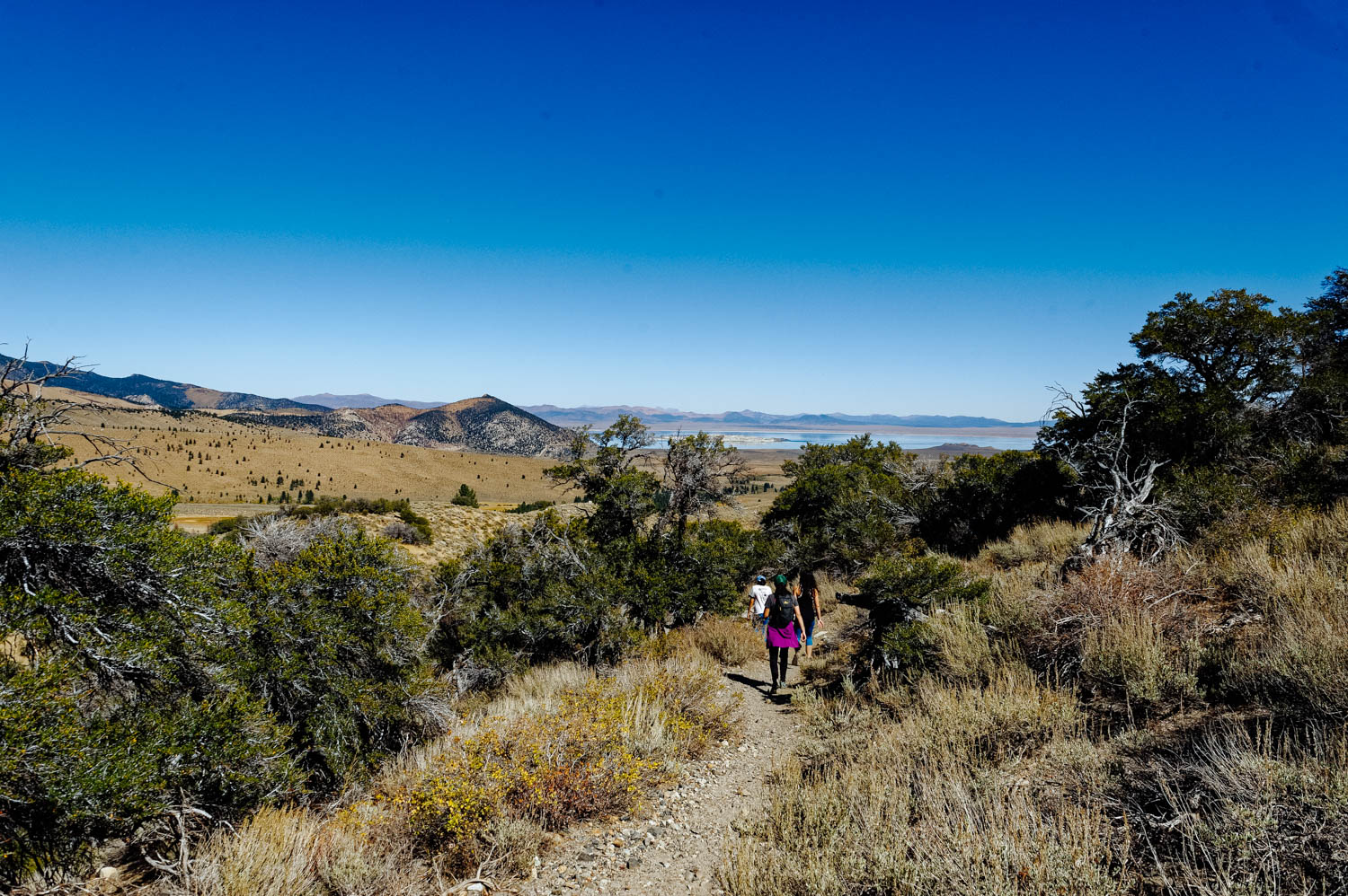
On the return, you can see Mono Lake in the distance.

On the return, you can see Mono Lake in the distance.

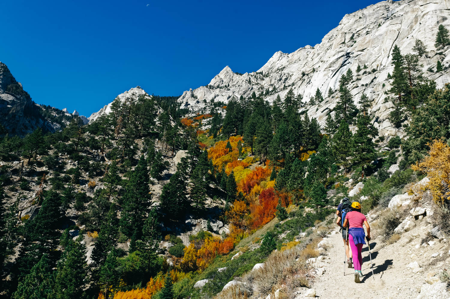
Parker Lake Trail, located in the Mono Lake area of the Eastern Sierra, is a very popular hike and for good reasons. It is a relatively short easy hike (3.8 miles round trip) that arrives at a gorgeous pristine alpine setting with towering Mt. Wood, Parker Peak (12,850 feet high) and Mt. Lewis. The lake is situated just above 8,000 feet. Make sure you bring lots of water and that you wear sun protection (including a hat) if you are hiking in the warm season. The first part of the trail climbs a bit and is completely exposed (if you are not acclimatized to altitude yet, you might find this gentle grade more demanding than usual). Dogs are allowed on the trail. It seems like it is a great fishing destination too!

Lake Tahoe area

_CFO8087_DxO.jpg
tahoe.jpg
_CFO8103_DxO.jpg
_CFO8121_DxO.jpg
corral2.jpg
20170927_162932.jpg

Ever since I can remember, Lake Tahoe has always been synonymous of adventure in my head. When I worked in outdoor retail stores, there was always a Tahoe Jacket or aTahoe something... I collected pictures of Caribbean blue beaches with a snowy mountain tops background on my Pinterest boards and kept hoping we could make it there before it got too cold... it was always next year... Finally, we made it (by crossing the border much earlier than usual) and it's beautiful, warm and sunny. We got to ride amazing trails (the Corral trail system in South Tahoe is amazing, don't miss Upper and Lower Corral, Armstrong connector, Sidewinder and for a longer ride, Mr. Toads wild ride). 

JF went for a long run on the Tahoe Rim trail and the girls and I set to go explore Tahoe most beautiful beach at Sand Harbor State Park. After driving for one hour, we found out that we could not get in because we had the dog with us. They would not let us in even if the dog would stay in the Westy and I would just get out to take pictures. Have you ever heard of such a stupid rule? I get that dogs are not allowed on beaches and trails, no problem. But not allowed to enter a state park and stay in the vehicle for 20 minutes??? I was NOT happy. This is the beach I had waited to photograph and visit for 5 + years... Oh and the entrance fee is $12...  So we turned around, very disappointed and headed 6 miles south to Chimney Beach, a free public beach where dogs are allowed. We were not expecting much, but we were sweaty and determined to swim in Tahoe. Well, Chimney Beach was awesome!! You have to walk down a half mile path to the shore where there are tons of little rocky coves you can choose from (you can either go left or right once you get to the bottom of the trail, just keep exploring until you find a private spot you like... if you go left for a bit, you will encounter a nude beach, just so you know!). We went right and found a beautiful crescent beach where we spend a few hours WITH Stout! And as you can see from the pictures, the water was as turquoise as in Sand Harbor. 

Lake Tahoe is very expensive and since we needed gas, groceries, laudry, etc., we decided to stay in Gardnerville, NV, where everything is much cheaper and accessible. We could have camped on the shore of Lake Tahoe for $36/night, but we stayed in a quiet Walmart parking lot in Gardnerville. Not exactly by the lake, but the lower altitude made for warmer nights and we stocked up on groceries before heading down the Sierras where it would take a while to see big grocery stores. There is a Grocery Outlet and a Raley's (great grocery store) 4 miles north from the Walmart in Gardnerville and a great cheap 24 hours Laudromat 6 miles north (Village Laundromat). There is another Walmart where you can spend the night in Carson City, but it's much busier and not as quiet (but there is a Trader Joe's right by and a Costco).

 If you are planning to enjoy the Tahoe activities for more than a few days, it might be a good idea to pick a campsite near the Lake (I'd say between South Tahoe and Sand Harbor State Park, on the Nevada side) and go for a weekly rate. Driving from Gardnerville to the Lake requires you go over passes and it is longer than Google will tell you, especially with a Westfalia with its original engine...

Eldorado National Forest, Crystal Basin, CA

On our way down from the Lava Beds National Monuments, we stopped for a few hours at the Yuba River State Park. The river is an incredible deep blue turquoise and there are tons of secret spots along the river to swim and enjoy this area. It was lat…

On our way down from the Lava Beds National Monuments, we stopped for a few hours at the Yuba River State Park. The river is an incredible deep blue turquoise and there are tons of secret spots along the river to swim and enjoy this area. It was late in the day and we didn't have time to explore, but still had a quick post sunset dip.

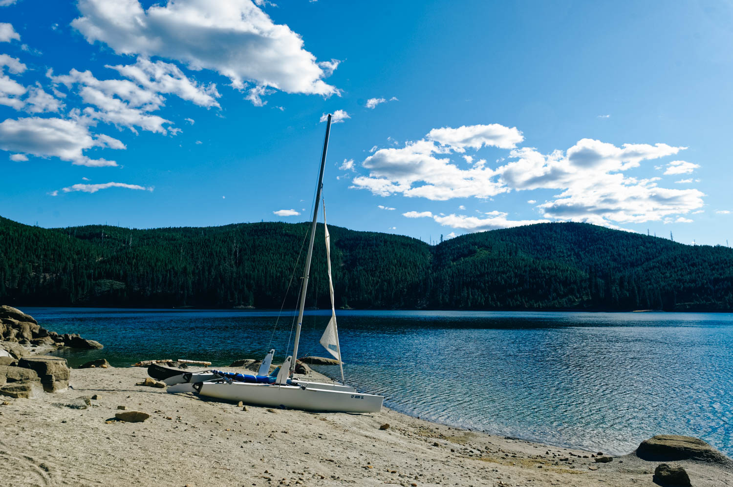
Union Valley Reservoir (Sunset Campground) and our friends Catamaran.

Union Valley Reservoir (Sunset Campground) and our friends Catamaran.

They took us sailing and it was so much fun!

They took us sailing and it was so much fun!

We also canoed on the beautiful lake. There is already snow on the mountain tops!

We also canoed on the beautiful lake. There is already snow on the mountain tops!

They brought us to another great spot in this area called Bassi Falls.

They brought us to another great spot in this area called Bassi Falls.

Sticks are so overrated. I retrieve pinecones.

Sticks are so overrated. I retrieve pinecones.

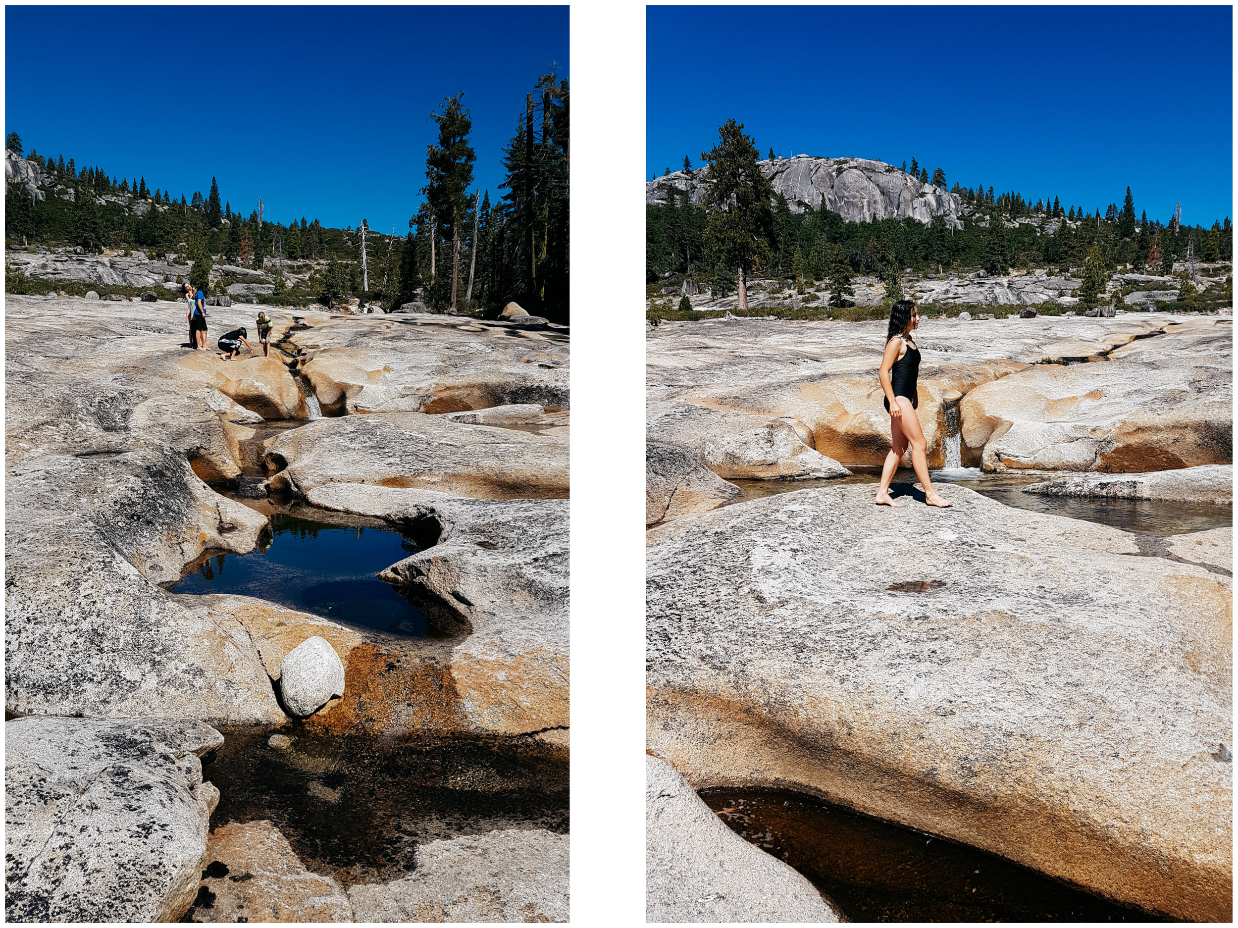
Bassi Falls paradise.

Bassi Falls paradise.

Upper Bassi Falls is full of beautiful basins flowing into one another. Some of them made for great waterslides too!

Upper Bassi Falls is full of beautiful basins flowing into one another. Some of them made for great waterslides too!

_CFO8046_DxO.jpg
_CFO8067_DxO.jpg
_CFO8032_DxO.jpg

We came here to meet our friends who had spend the summer in the area sailing their Catamaran and just enjoying this beautiful wild part of the sierras. They had told us how much they liked this region before and we were excited to discover it. It really blew our minds. Sunset Campground is beautiful and located on a peninsula. Unfortunately, it will be closed for the next two years for improvements. Luckily, there are other campgrounds very close by, namely Wolf Creek that our friends really like. Do not miss Bassi Falls and Wright Lake trails in the Desolation Wilderness (JF went running there) if you are in the area. It is about half way between Auburn and Lake Tahoe.

Hike to 49 Palms Oasis, Joshua Tree NP

Hiking in a dry dusty desert for a few miles, then rounding a corner and seeing that beautiful green oasis is a unique experience. The air was much cooler and damp under the fan palms. We totally understood how finding the proverbial oasis in the middle of the desert could feel.

More Joshua Tree rock climbing and bouldering goodness

After the Thanksgiving crowd came and went, Joshua Tree is back to its normal quiet self, especially during the week, away from the main tourist destinations of the park. We have the crags to ourselves and it feels glorious!

One afternoon, the kids didn't feel like joining us, so JF and I took off just the two of us while they stayed back at camp with their friends and Jennifer and Karl. We were exhilarated to be climbing just by ourselves. I could actually hear the silence of that place, the bling-bling of the quickdraws dangling from JF's harness as he climbed, the swoosh of the rope as I quickly fed him some rope to clip. We each climbed two great routes in less than 2 hours, something impossible when you have to belay 6 kids on every route! 

When we came back to the rig, the 6 kids had completely cleaned the bus and had prepared a delicious feast for the both of us! How awesome! We were speechless!

Since we are back at Joshua Tree North BLM, we are only 15 min from Indian Cove (one of the main rock climbing sector in Joshua Tree NP) and we go there every afternoon. Yesterday, after trying to set up a route and deciding against it after the first bolt (yes, we are very careful!), we worked on some bouldering problems. Boudering is hard work, but oh so rewarding!

Hiking in Painted Canyon

This is the perfect introduction to slot canyons! The access is short and relatively easy (I would not recommend it to children 6 and younger) and it's only 45 min from Palm Desert (on Box Canyon Road). It took us only 3 hours to hike all the way out and back (the kids said it was too short!). It gave us just enough time to be back for a swim in the pool before sunset.

Exploring the Barker Dam area, Joshua Tree

Jen did the hike in crutches! And JF carried her on the rougher terrain.

Exploring a bouldering area. They now want a crash pad for Christmas! Perfect!

Rock climbing and the ego

Climbers have the coolest vehicles!

I am the little climber on that wall!

So good to see Karl back at it after a month long rest for his foot injury.

So good to see Karl back at it after a month long rest for his foot injury.

I left some blood and tears on that wall... and maybe a bit of my ego too.

On risk taking and injuries

Left: scrambling up to the route. Right: trying to spot all the bolts... not an easy task in Joshua Tree!

Pretty awesome "waiting room".

(photo by Isabelle Lauzon)

It is such an empowering feeling to leave, just Jennifer and I in the Westy with all the kids piled up in the back and head to the crag. Joshua Tree routes are not easy to find and you never know what to expect. As I said in my last post, there are often bolts missing, big runouts (long distances without a bolt or protection on the route) and impossible to find anchors on top (which is not a problem for trad climbers who can install their own protections, but it can be a problem for us, sport climbers). So we felt pretty badass leading the kids through a fun scramble in a canyon up to the routes, then assessing the routes with them (trying to spot bolts and anchors), making the decision to climb or not depending on that assesment and finally climbing a different route further down. We came back to the Westy at moon rise (again!) and felt so full from another day at the crag together!

(photos by Isabelle Lauzon)

The next day, Jennifer had a fall while leading a route that was supposed to be an easy 5.5 (we renamed it 5.5. My Ass!). And she sprained her ankle pretty bad. Three months ago it was JF that broke an arm in a mountain bike accident, then a month ago, Karl sprained his foot when he fell while lead climbing and his foot got caught... (and no! I am not next!). It is easy to assume that we partake in high-risk sports and that injuries are to be expected. It is in part true and we consciously choose to life an active life doing sports we love even if there are risks involved. Is there anything that is risk-free? Choosing to not be active also comes with a different type of risk (health consequences mainly). Also, a person might be a risk-taker in one sphere of its life and risk-averse in another one (one might bungee jump, but never invest in the stock market, for instance). 

JF is right where Jennifer was when she fell. It was about a a 5 feet fall and her ankle twisted when she landed in the crack (photos by Isabelle Lauzon).

Due to media-coverage, many non-climbers are aware of numerous climbing fatalities. When a non-climber looks at a rock face and thinks its crazy for anyone to climb, a competent climber might see an established and well-protected route on immaculate rock and rightly judge it not risky.

Of course rock climbing involves a certain amount of risk. But with risk comes rewards. We all know what it feels like to be afraid of something, but to overcome it, to succeed, that's one of the best feelings in the world (inspired by this short movie).

Belaying Alex on his first outdoor climb! It's an honour to introduce friends and family to a sport we love so much (photos by Isabelle Lauzon).

But still, the question remains (at least in our parents and siblings head!):

“So, why are you taking risks? If you look deeply enough, you’ll realize you take risks to grow and growth gives you experiences that make you feel alive. It’s important to recognize when your ego takes you off that path of growth. Take risks that are appropriate for you, learn what you need to learn, and feel alive and fulfilled in the process.” (from this great article). Read on for more excerpts from this article...

“Many climbers begin climbing in a gym. Mark Twight points out that in the gym, a climber expects to confront a minimal amount of fear and to have anxiety managed by others. We become accustomed to someone else managing these risks, which can lead to a false sense of security when climbing outside. In this way we tend to insulate ourselves from the situations we are engaged in. We’ve expected others to manage the risk while we were focused on having a nice, comfortable experience. The more comfortable and safe we make situations, the more separated we are from them.

Cars, these days, lock the doors, turn on/off the lights, and beep when we haven’t put on our safety belt. Decision-making has been taken away in an attempt to keep us safe. Does safety lie in gadgets making decisions for us or in technology that disengages us from the risk? Henry Barber’s maxim is “do more with less”. His approach puts him in close proximity to the risk with minimal insulation. He states that doing more with less [technology] requires creativity. It allows us to be the leader of our life and decisions, rather than succumbing to the sheep mentality. What we need to keep in mind is why we do what we do.”

Rock climbing in Indian Cove, Joshua Tree National Park

Belay glasses are the best invention since sliced bread! They are simply prisms that allow you to see your climber without having to lift your head up (it also magnifies so it looks closer to you). No more neck pain!!

Left: Jennifer leading a crazy 5.7 (called Feminine Itch, obviously named by a dirtbag woman!)... Oh Joshua Tree, you are always so full of surprises (major runouts, missing bolts, etc.)! You never know what you'll find once up there! Right: JF resting after the 5.10c section of this route! He did awesome!

We introduced Isabelle, Alex and Martin to rock climbing outside and they went up like pros!

Joshua Tree is a mecca for trad climbers! Undeniably one of the best places in the United States. However, when it comes to sport climbing, there isn't that many routes. Or rather, there are routes, but they are scattered here and there, and the only two spots where there are more than 2 or 3 routes require over one hour of approach walk, scrambling up ball bearing scree, washes and canyons.

We spent most of our days at Indian Cove campground where there are sport routes right behind the campsites. It was kind of weird to climb on someone's campsite while they were gone, but it was an ideal spot with no approach at all.